Air Ambulance Helicopter to Southport, Leyland Road
Sunday, 12 April 2026 | 17:48 | From Manchester Barton Aerodrome
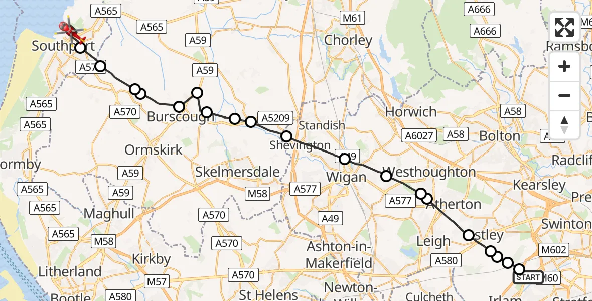
On Sunday, 12 April 2026 at 17:48, a Air Ambulance Helicopter departed from Manchester Barton Aerodrome to Southport. It was the Air Ambulance Helicopter with registration number G-NWEM. The flight lasted 16 minutes. During that period, the aircraft travelled 32 miles at an average speed of 122 miles per hour at a maximum altitude of 1675 feet.
Helicopter: G-NWEM
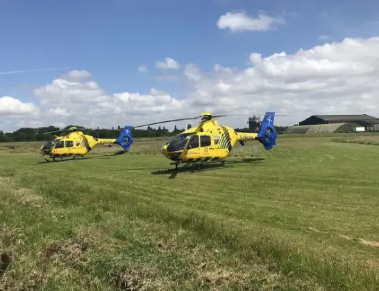
The helicopter G-NWEM is used as a air ambulance helicopter. The main purpose of this aircraft is to transport a Mobile Medical Team to an incident as quickly as possible, enabling the trauma doctor to provide immediate first aid on site. The aircraft is flying this flight as Air Ambulance Helicopter.
Photo: Legion23
33 miles
1675 feet
122 mph
16 minutes
17:48
18:04

Route
Leyland Road, Merseyside - Sefton18:04
Southport, Sefton18:02
West Lancashire, Lancashire18:01
Scarisbrick, Lancashire18:01
West Lancashire, Lancashire18:00
Burscough, Lancashire17:59
Rufford, Lancashire17:59
Lathom, Lancashire17:58
Newburgh, Lancashire17:58
Parbold, Lancashire17:57
Appley Bridge, Lancashire17:56
Wigan, Wigan17:55
Hindley, Wigan17:53
Westhoughton, Bolton17:52
Hindley, Bolton17:52
Wigan, Wigan17:51
Astley, Wigan17:50
Astley, Salford17:50
Worsley, Salford17:49
Irlam, Salford17:49
Manchester Barton Aerodrome, Manchester, Greater Manchester17:48
Live flights
Today
Flights Southport
Helicopter flights on your website?
You can easily display helicopter flights on your own website. Use the embed code.
