Air Ambulance Helicopter to Minard
Sunday, 12 April 2026 | 17:07 | From Glasgow Airport
On Sunday, 12 April 2026 at 17:07, a Air Ambulance Helicopter departed from Glasgow Airport to Minard. It was the Air Ambulance Helicopter with registration number G-ISAS. The flight lasted 18 minutes. During that period, the aircraft travelled 36 miles at an average speed of 119 miles per hour at a maximum altitude of 3275 feet.
Helicopter: G-ISAS
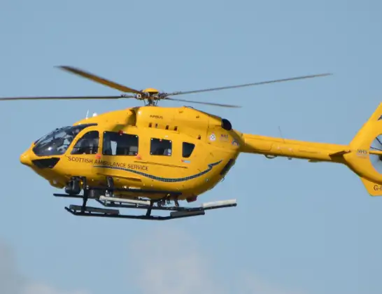
The helicopter G-ISAS is used as a air ambulance helicopter. The main purpose of this aircraft is to transport a Mobile Medical Team to an incident as quickly as possible, enabling the trauma doctor to provide immediate first aid on site. The aircraft is flying this flight as Air Ambulance Helicopter.
Photo: Jonathan Payne
37 miles
3275 feet
119 mph
19 minutes
17:07
17:26

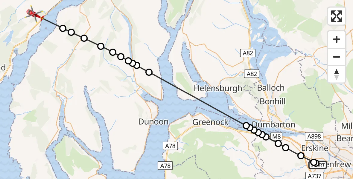
Route
Minard, Argyll and Bute17:26
Inner Seas17:24
Argyll and Bute, Argyll and Bute17:24
Dunans, Argyll and Bute17:23
Argyll and Bute, Argyll and Bute17:22
Glenmassan, Argyll and Bute17:21
Argyll and Bute, Argyll and Bute17:21
Coirantee, Argyll and Bute17:20
Loch Eck17:20
Strachur, Argyll and Bute17:20
Ardentinny, Argyll and Bute17:19
Inner Seas17:13
Port Glasgow, Inverclyde17:12
Park Farm, Inverclyde17:12
Port Glasgow, Inverclyde17:12
Langbank, Renfrewshire17:12
Park Farm, Renfrewshire17:11
Langbank, Renfrewshire17:11
Houston, Renfrewshire17:10
Bishopton, Renfrewshire17:09
Erskine, Renfrewshire17:08
Inchinnan, Renfrewshire17:08
Inchinnan Drive, Renfrewshire17:07
Live flights
Today
Flights Minard
Air Ambulance Helicopter to Minard18 Mar 22:35
Helicopter flights on your website?
You can easily display helicopter flights on your own website. Use the embed code.
