Coastguard Helicopter to Manston Airport
Sunday, 12 April 2026 | 13:48 | From Maldon
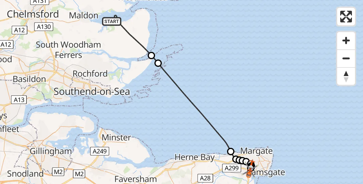
On Sunday, 12 April 2026 at 13:48, a Coastguard Helicopter departed from Maldon to Manston Airport. It was the Coastguard Helicopter with registration number G-RESF. The flight lasted 20 minutes. During that period, the aircraft travelled 39 miles at an average speed of 116 miles per hour at a maximum altitude of 875 feet.

Helicopter: G-RESF
The helicopter G-RESF is used by the British Coastguard. The helicopter is deployed in search and rescue operations at sea, rescue operations involving ships or drilling platforms, patrols to prevent smuggling or piracy, environmental monitoring and disaster relief support.
Photo: Tony Melony
39 miles
875 feet
116 mph
21 minutes
13:48
14:08

Route
Manston Airport, Ramsgate, Kent14:08
Manston Airport, Ramsgate, Kent14:07
Minster, Kent14:07
Manston, Kent14:07
Manston Airport, Ramsgate, Kent14:07
Birchington, Kent14:06
Margate, Kent14:06
Acol, Kent14:06
Birchington, Kent14:05
Minnis Bay, Kent14:05
North Sea13:56
Rochford, Essex13:55
Stansgate Road, Essex13:49
Maldon, Essex13:48
Live flights
Today
Flights Maldon
Air Ambulance Helicopter to Papworth Hospital25 Jun 17:46
Air Ambulance Helicopter to Maldon, Maypole Road25 Jun 16:27
Coastguard Drone to Maldon, Batt's Road24 Jun 06:40
Air Ambulance Helicopter to Papworth Hospital13 Jun 18:01
Air Ambulance Helicopter to Maldon, Maldon Road13 Jun 16:22
Helicopter flights on your website?
You can easily display helicopter flights on your own website. Use the embed code.
