Air Ambulance Helicopter to Henstridge Airfield
Saturday, 11 April 2026 | 20:12 | From Ebbesbourne Wake
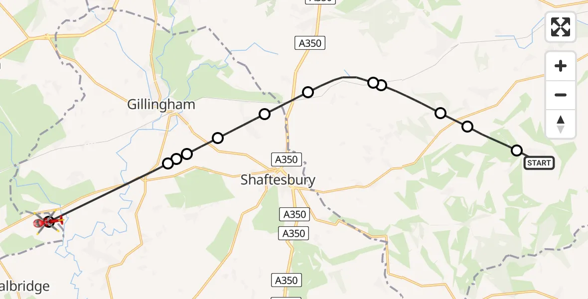
On Saturday, 11 April 2026 at 20:12, a Air Ambulance Helicopter departed from Ebbesbourne Wake to Henstridge Airfield. It was the Air Ambulance Helicopter with registration number G-DSAA. The flight lasted 15 minutes. During that period, the aircraft travelled 16 miles at an average speed of 65 miles per hour at a maximum altitude of 2125 feet.
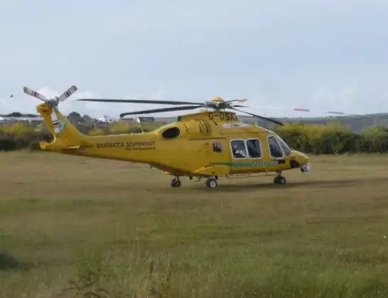
Helicopter: G-DSAA
The helicopter G-DSAA is used as a air ambulance helicopter. The main purpose of this aircraft is to transport a Mobile Medical Team to an incident as quickly as possible, enabling the trauma doctor to provide immediate first aid on site. The aircraft is flying this flight as Air Ambulance Helicopter.
Photo: Andrew Bone
17 miles
2125 feet
65 mph
16 minutes
20:12
20:27

Route
Henstridge Airfield, Templecombe, Somerset20:27
Henstridge Airfield, Templecombe, Somerset20:26
East Stour, Dorset20:22
Gillingham, Dorset20:22
East Stour, Dorset20:22
Gillingham, Dorset20:21
Motcombe, Dorset20:19
Sedgehill, Wiltshire20:18
Semley, Wiltshire20:16
Sedgehill and Semley, Wiltshire20:16
Tisbury, Wiltshire20:14
Ansty, Wiltshire20:14
Alvediston, Wiltshire20:12
Ebbesborne Hollow, Wiltshire20:12
Live flights
Today
Helicopter flights on your website?
You can easily display helicopter flights on your own website. Use the embed code.
