Police Helicopter to North Weald Airfield
Saturday, 11 April 2026 | 18:13 | From Coopersale Street
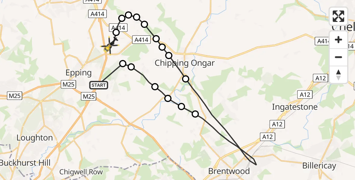
On Saturday, 11 April 2026 at 18:13, a Police Helicopter departed from Coopersale Street to North Weald Airfield. It was the Police Helicopter with registration number G-POLD. The flight lasted 11 minutes. During that period, the aircraft travelled 24 miles at an average speed of 127 miles per hour at a maximum altitude of 1400 feet.
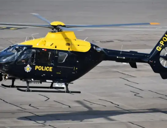
Helicopter: G-POLD
The helicopter G-POLD is used by the British police. The helicopter is deployed in pursuits, missing persons cases and other incidents where a helicopter provides added value.
Photo: Alec Wilson
24 miles
1400 feet
127 mph
12 minutes
18:13
18:25

Route
North Weald Airfield, Epping, Essex18:25
North Weald Airfield, Epping, Essex18:24
North Weald Bassett, Essex18:23
Threshers Bush, Essex18:23
Epping Forest, Essex18:23
Magdalen Laver, Essex18:22
Moreton, Essex18:22
Chipping Ongar, Essex18:22
Greensted, Essex18:21
Chipping Ongar, Essex18:21
Brentwood, Essex18:16
Epping Forest, Essex18:16
Little End, Essex18:15
Stanford Rivers, Essex18:15
Toot Hill, Essex18:14
Woodhatch, Essex18:14
M11, Essex18:13
Live flights
Today
Helicopter flights on your website?
You can easily display helicopter flights on your own website. Use the embed code.
