Air Ambulance Helicopter to University Hospital Southampton
Saturday, 11 April 2026 | 18:13 | From St Ives
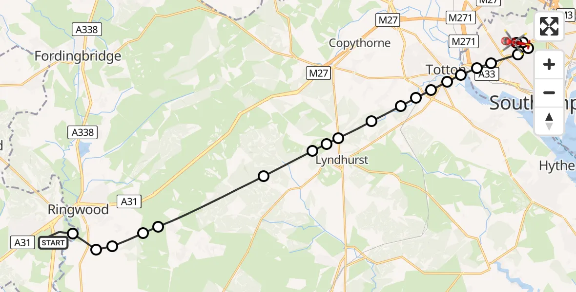
On Saturday, 11 April 2026 at 18:13, a Air Ambulance Helicopter departed from St Ives to University Hospital Southampton. It was the Air Ambulance Helicopter with registration number G-DSAA. The flight lasted 11 minutes. During that period, the aircraft travelled 20 miles at an average speed of 110 miles per hour at a maximum altitude of 1150 feet.
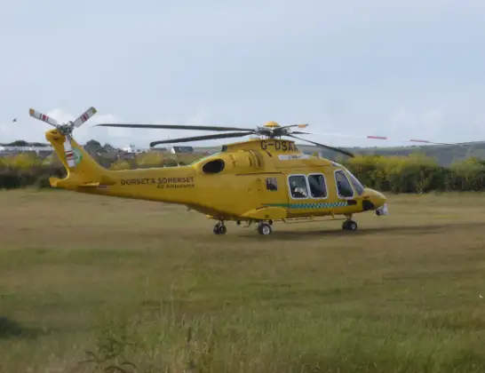
Helicopter: G-DSAA
The helicopter G-DSAA is used as a air ambulance helicopter. The main purpose of this aircraft is to transport a Mobile Medical Team to an incident as quickly as possible, enabling the trauma doctor to provide immediate first aid on site. The aircraft is flying this flight as Air Ambulance Helicopter.
Photo: Andrew Bone
20 miles
1150 feet
110 mph
11 minutes
18:13
18:24

Route
University Hospital Southampton, Southampton18:24
University Hospital Southampton, Southampton18:23
University Hospital Southampton, Southampton18:23
Shirley Warren, Southampton18:22
Bassett, Southampton18:22
Shirley Warren, Southampton18:21
Shirley Park, Southampton18:21
Wimpson, Southampton18:21
Totton, Hampshire18:20
Eling, Hampshire18:20
Hounsdown, Hampshire18:20
West Totton, Hampshire18:20
Woodlands, Hampshire18:19
Ashurst, Hampshire18:19
New Forest, Hampshire18:18
Minstead, Hampshire18:18
Emery Down, Hampshire18:18
New Forest, Hampshire18:17
Burley, Hampshire18:15
Hightown, Hampshire18:15
Ringwood, Hampshire18:15
New Forest, Hampshire18:14
Ringwood, Hampshire18:14
The Close, Dorset18:14
St Ives, Dorset18:13
Live flights
Today
Helicopter flights on your website?
You can easily display helicopter flights on your own website. Use the embed code.
