Police Helicopter to Rockbeare, Westcott Road
Saturday, 11 April 2026 | 15:41 | From Clyst Honiton
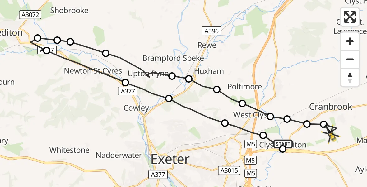
On Saturday, 11 April 2026 at 15:41, a Police Helicopter departed from Clyst Honiton to Rockbeare. It was the Police Helicopter with registration number G-CPAS. The flight lasted 11 minutes. During that period, the aircraft travelled 22 miles at an average speed of 122 miles per hour at a maximum altitude of 1550 feet.
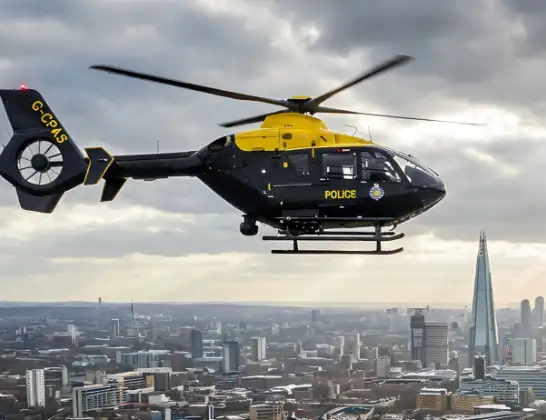
Helicopter: G-CPAS
The helicopter G-CPAS is used by the British police. The helicopter is deployed in pursuits, missing persons cases and other incidents where a helicopter provides added value.
Photo: Tony Melony
22 miles
1550 feet
122 mph
11 minutes
15:41
15:52

Route
Westcott Road, Devon15:52
Rockbeare, Devon15:51
Clyst Honiton, Devon15:51
East Devon, Devon15:51
Broadclyst, Devon15:50
West Clyst, Devon15:50
Poltimore, Devon15:49
Stoke Canon, Devon15:49
Brampford Speke, Devon15:49
Newton St. Cyres, Devon15:47
Mid Devon, Devon15:47
Newton St. Cyres, Devon15:46
Shobrooke, Devon15:46
Mid Devon, Devon15:45
Newton St. Cyres, Devon15:44
Upton Pyne, Devon15:43
Exeter, Devon15:42
West Clyst, Devon15:41
East Devon, Devon15:41
Clystside, Devon15:41
Live flights
Today
Flights Rockbeare
Police Helicopter to Southgate, Eastcliff11 Jul 18:41
Police Helicopter to Rockbeare, Silver Lane5 Jul 20:57
Police Helicopter to Rockbeare, Gribble Lane5 Jul 16:32
Police Helicopter to Rockbeare, Silver Lane4 Jul 18:20
Police Helicopter to Rockbeare, Westcott Road30 Jun 18:50
Police Helicopter to Rockbeare, Westcott Road29 Jun 16:58
Helicopter flights on your website?
You can easily display helicopter flights on your own website. Use the embed code.
