Air Ambulance Helicopter to Wick John O'Groats Airport
Friday, 10 April 2026 | 20:20 | From North Sea
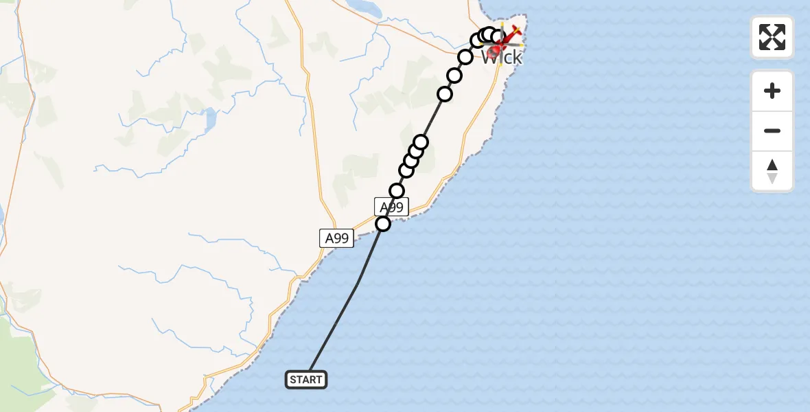
On Friday, 10 April 2026 at 20:20, a Air Ambulance Helicopter departed from North Sea to Wick John O'Groats Airport. It was the Air Ambulance Helicopter with registration number G-GSAS. The flight lasted 10 minutes. During that period, the aircraft travelled 25 miles at an average speed of 149 miles per hour at a maximum altitude of 1725 feet.
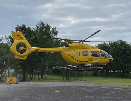
Helicopter: G-GSAS
The helicopter G-GSAS is used as a air ambulance helicopter. The main purpose of this aircraft is to transport a Mobile Medical Team to an incident as quickly as possible, enabling the trauma doctor to provide immediate first aid on site. The aircraft is flying this flight as Air Ambulance Helicopter.
Photo: Scanbus
25 miles
1725 feet
149 mph
11 minutes
20:20
20:30

Route
Wick John O'Groats Airport, Wick20:30
Wick John O'Groats Airport, Wick20:30
Wick, Highland20:29
Reiss, Highland20:29
Wick, Highland20:29
Milton, Highland20:28
Haster, Highland20:28
Upper Refaithly, Highland20:27
Caithness, Highland20:26
Mid Clyth, Highland20:26
Caithness, Highland20:26
Highland, Highland20:25
West Clyth, Highland20:25
Lybster, Highland20:24
North Sea, 20:22
North Sea20:20
Live flights
Today
Helicopter flights on your website?
You can easily display helicopter flights on your own website. Use the embed code.
