Air Ambulance Helicopter to Inverness, Woodend Road
Friday, 10 April 2026 | 15:50 | From Inverness
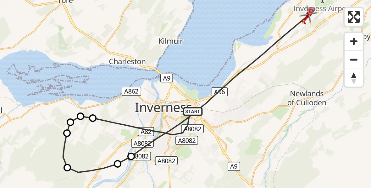
On Friday, 10 April 2026 at 15:50, a Air Ambulance Helicopter departed from Inverness to Inverness. It was the Air Ambulance Helicopter with registration number G-GSAS. The flight lasted 10 minutes. During that period, the aircraft travelled 19 miles at an average speed of 122 miles per hour at a maximum altitude of 2900 feet.
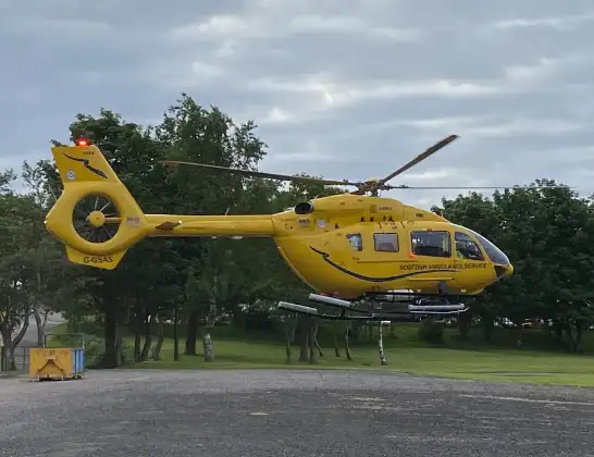
Helicopter: G-GSAS
The helicopter G-GSAS is used as a air ambulance helicopter. The main purpose of this aircraft is to transport a Mobile Medical Team to an incident as quickly as possible, enabling the trauma doctor to provide immediate first aid on site. The aircraft is flying this flight as Air Ambulance Helicopter.
Photo: Scanbus
20 miles
2900 feet
122 mph
10 minutes
15:50
15:59

Route
Woodend Road, Highland15:59
Inverness, Highland15:55
Inverness West, Highland15:55
Inverness, Highland15:54
Kirkhill and Bunchrew, Highland15:53
Inchmore, Highland15:53
Inverness, Highland15:53
Kirkhill and Bunchrew, Highland15:53
Ashton Road, Highland15:50
Live flights
Today
Flights Inverness
Air Ambulance Aircraft to Glasgow Airport25 Jul 20:53
Air Ambulance Aircraft to Stirling, Crow Road25 Jul 18:33
Air Ambulance Aircraft to Inner Seas25 Jul 13:24
Coastguard Helicopter to Inverness Airport23 Jul 19:54
Air Ambulance Aircraft to Glass23 Jul 16:00
Helicopter flights on your website?
You can easily display helicopter flights on your own website. Use the embed code.
