Air Ambulance Helicopter to Hampton Wick, Lower Ham Road
Friday, 10 April 2026 | 13:34 | From London Heliport
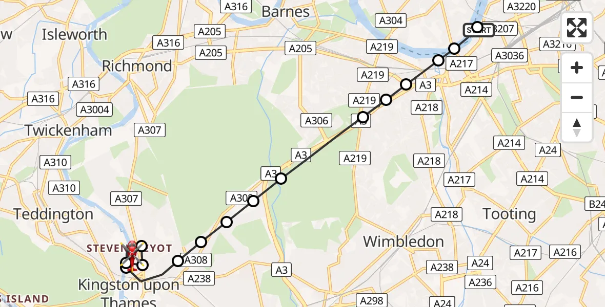
On Friday, 10 April 2026 at 13:34, a Air Ambulance Helicopter departed from London Heliport to Hampton Wick. It was the Air Ambulance Helicopter with registration number G-LAAA. The flight lasted 9 minutes. During that period, the aircraft travelled 9 miles at an average speed of 61 miles per hour at a maximum altitude of 1050 feet.
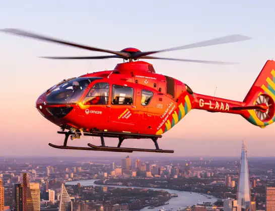
Helicopter: G-LAAA
The helicopter G-LAAA is used as a air ambulance helicopter. The main purpose of this aircraft is to transport a Mobile Medical Team to an incident as quickly as possible, enabling the trauma doctor to provide immediate first aid on site. The aircraft is flying this flight as Air Ambulance Helicopter.
Photo: Ton Snoei
9 miles
1050 feet
61 mph
9 minutes
13:34
13:43

Route
Hampton Wick, Kingston upon Thames13:43
Lower Ham Road, Greater London - Kingston upon Thames13:43
Lower Ham Road, Greater London - Kingston upon Thames13:42
Hampton Wick, Kingston upon Thames13:40
Norbiton, Kingston upon Thames13:40
Kingston upon Thames, Kingston upon Thames13:40
Hampton Wick, Kingston upon Thames13:39
Norbiton, Kingston upon Thames13:39
Petersham, Kingston upon Thames13:38
Coombe, Kingston upon Thames13:38
Kingston Vale, Kingston upon Thames13:38
Putney Vale, Wandsworth13:38
Roehampton, Wandsworth13:37
Southfields, Wandsworth13:37
Putney, Wandsworth13:36
Smugglers Way, Greater London - Wandsworth13:36
Fulham, Wandsworth13:36
Wandsworth, Wandsworth13:35
London Heliport, London13:34
Live flights
Today
Helicopter flights on your website?
You can easily display helicopter flights on your own website. Use the embed code.
