Air Ambulance Helicopter to North Cray, Riverside Road
Thursday, 9 April 2026 | 13:48 | From Royal London Hospital
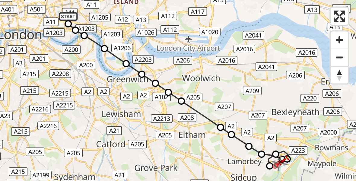
On Thursday, 9 April 2026 at 13:48, a Air Ambulance Helicopter departed from Royal London Hospital to North Cray. It was the Air Ambulance Helicopter with registration number G-LAAB. The flight lasted 12 minutes. During that period, the aircraft travelled 13 miles at an average speed of 62 miles per hour at a maximum altitude of 1125 feet.
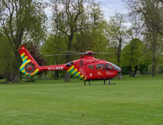
Helicopter: G-LAAB
The helicopter G-LAAB is used as a air ambulance helicopter. The main purpose of this aircraft is to transport a Mobile Medical Team to an incident as quickly as possible, enabling the trauma doctor to provide immediate first aid on site. The aircraft is flying this flight as Air Ambulance Helicopter.
Photo: Celsoazevedo
13 miles
1125 feet
62 mph
13 minutes
13:48
14:01

Route
Riverside Road, Greater London - Bexley14:01
North Cray, Bexley13:59
Bexley, Bexley13:59
Sidcup, Bexley13:58
North Cray, Bexley13:58
Blendon, Bexley13:57
Blackfen, Bexley13:57
Sidcup, Bexley13:56
Avery Hill, Greenwich13:56
Well Hall, Greenwich13:55
Charlton, Greenwich13:55
Blackheath, Greenwich13:55
East Greenwich, Greenwich13:55
Greater London13:54
Isle of Dogs, Tower Hamlets13:54
London Borough of Southwark, Greater London13:53
Stepney, Tower Hamlets13:53
Whitechapel, Tower Hamlets13:53
Royal London Hospital, London13:52
Royal London Hospital, London13:48
Live flights
Today
Helicopter flights on your website?
You can easily display helicopter flights on your own website. Use the embed code.
