Air Ambulance Helicopter to Warwick, Siskin Parkway West
Thursday, 9 April 2026 | 13:20 | From University Hospital Coventry
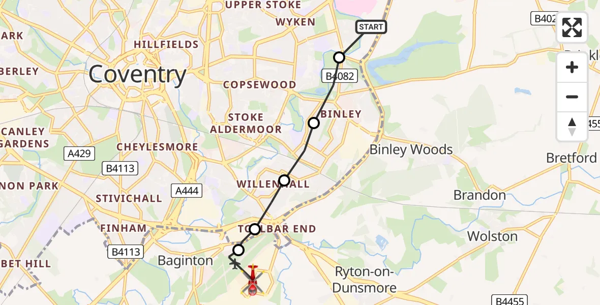
On Thursday, 9 April 2026 at 13:20, a Air Ambulance Helicopter departed from University Hospital Coventry to Warwick. It was the Air Ambulance Helicopter with registration number G-WNAS. The flight lasted 3 minutes. During that period, the aircraft travelled 4 miles at an average speed of 94 miles per hour at a maximum altitude of 725 feet.
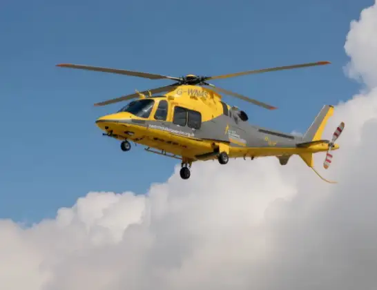
Helicopter: G-WNAS
The helicopter G-WNAS is used as an ambulance helicopter. The helicopter is equipped with a stretcher for transporting patients. The helicopter is often used to transport to hospitals.
Photo: Tony Melony
5 miles
725 feet
94 mph
3 minutes
13:20
13:23

Route
Siskin Parkway West, West Midlands - Warwickshire13:23
Coventry Airport, Coventry, West Midlands13:23
Warwick, Warwickshire13:22
Rugby, Warwickshire13:22
Ernesford Grange, Coventry13:21
Stoke Hill, Coventry13:21
Sowe Valley Footpath, West Midlands - Coventry13:20
Live flights
Today
Flights Warwick
Air Ambulance Helicopter to Warwick, Henley Road12 Jul 21:38
Air Ambulance Helicopter to Warwick3 Jul 11:39
Air Ambulance Helicopter to Coventry Airport30 Jun 11:42
Air Ambulance Helicopter to Warwick30 Jun 10:11
Helicopter flights on your website?
You can easily display helicopter flights on your own website. Use the embed code.
