Air Ambulance Helicopter to Brentwood, Brentwood Road
Thursday, 9 April 2026 | 10:33 | From North Weald Airfield
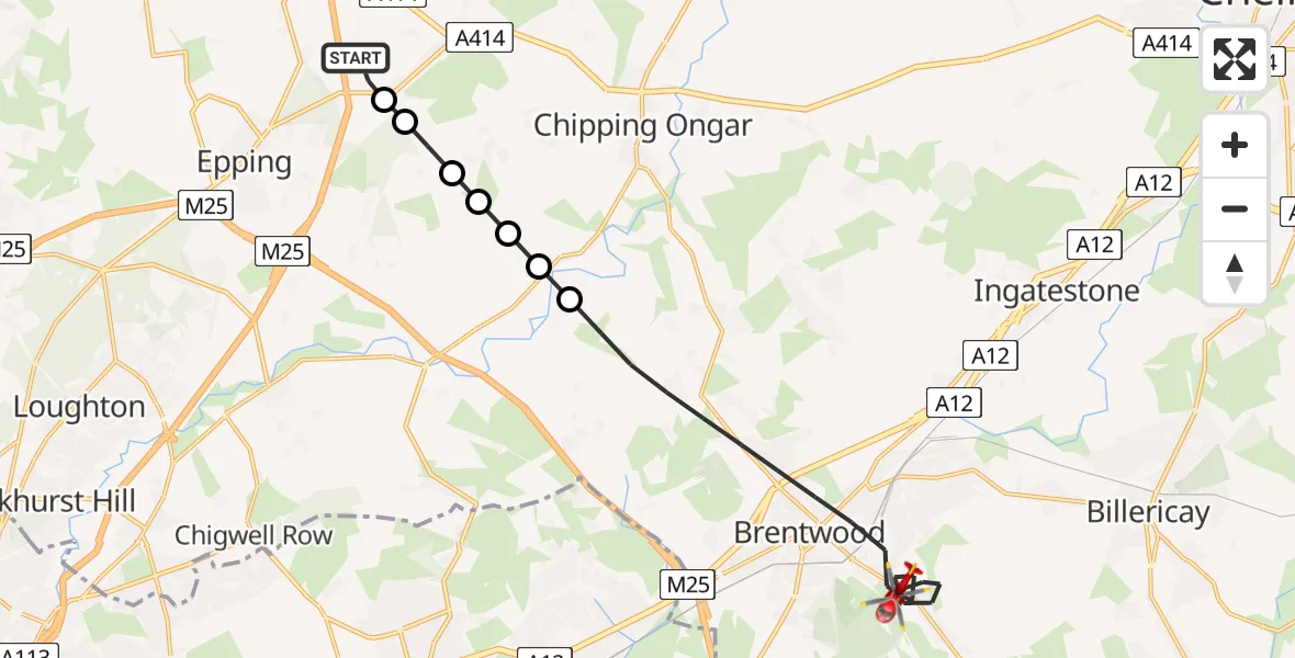
On Thursday, 9 April 2026 at 10:33, a Air Ambulance Helicopter departed from North Weald Airfield to Brentwood. It was the Air Ambulance Helicopter with registration number G-HHEM. The flight lasted 11 minutes. During that period, the aircraft travelled 14 miles at an average speed of 77 miles per hour at a maximum altitude of 1100 feet.
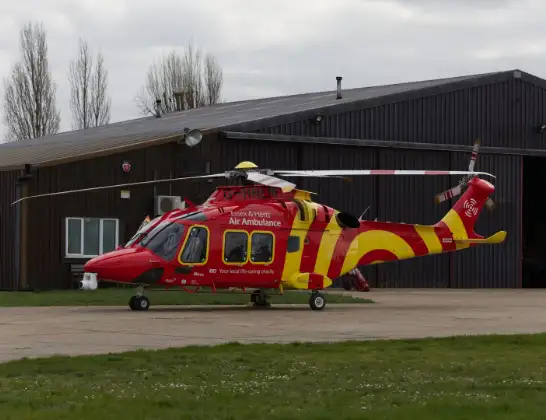
Helicopter: G-HHEM
The helicopter G-HHEM is used as a air ambulance helicopter. The main purpose of this aircraft is to transport a Mobile Medical Team to an incident as quickly as possible, enabling the trauma doctor to provide immediate first aid on site. The aircraft is flying this flight as Air Ambulance Helicopter.
Photo: Ronnie Macdonald
15 miles
1100 feet
77 mph
12 minutes
10:33
10:44

Route
Brentwood Road, Essex10:44
Brentwood, Essex10:38
Stanford Rivers, Essex10:38
Epping Forest, Essex10:38
Toot Hill, Essex10:38
Stapleford Tawney, Essex10:37
Woodhatch, Essex10:37
North Weald Bassett, Essex10:37
North Weald Airfield, Epping, Essex10:36
North Weald Airfield, Epping, Essex10:33
Today
Flights Brentwood
Police Helicopter to Brentwood, Ongar Road26 Jun 11:07
Air Ambulance Helicopter to North Weald Airfield31 May 14:25
Air Ambulance Helicopter to Brentwood, Hall Lane31 May 13:14
Air Ambulance Helicopter to North Weald Airfield28 May 17:00
Helicopter flights on your website?
You can easily display helicopter flights on your own website. Use the embed code.
