Air Ambulance Helicopter to North Kesteven, Sleaford Road
Tuesday, 7 April 2026 | 17:43 | From Boston
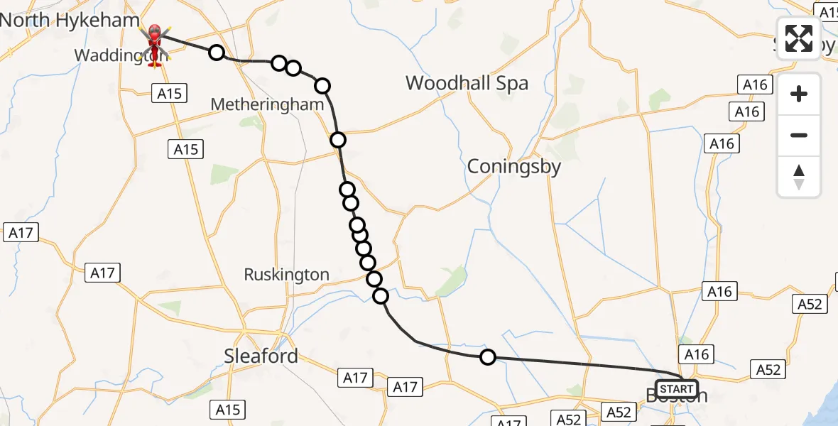
On Tuesday, 7 April 2026 at 17:43, a Air Ambulance Helicopter departed from Boston to North Kesteven. It was the Air Ambulance Helicopter with registration number G-LNCC. The flight lasted 15 minutes. During that period, the aircraft travelled 29 miles at an average speed of 119 miles per hour at a maximum altitude of 875 feet.
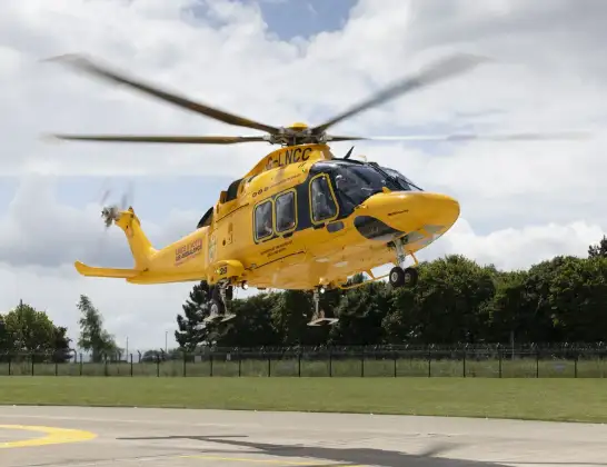
Helicopter: G-LNCC
The helicopter G-LNCC is used as a air ambulance helicopter. The main purpose of this aircraft is to transport a Mobile Medical Team to an incident as quickly as possible, enabling the trauma doctor to provide immediate first aid on site. The aircraft is flying this flight as Air Ambulance Helicopter.
Photo: Lincs & Notts
30 miles
875 feet
119 mph
15 minutes
17:43
17:58

Route
Sleaford Road, Lincolnshire17:58
Sleaford Road, Lincolnshire17:58
Sleaford Road, Lincolnshire17:57
North Kesteven, Lincolnshire17:54
Nocton, Lincolnshire17:53
Dunston, Lincolnshire17:53
Metheringham, Lincolnshire17:52
Martin, Lincolnshire17:51
Timberland, Lincolnshire17:51
Walcott, Lincolnshire17:50
Digby, Lincolnshire17:50
Dorrington, Lincolnshire17:50
Ruskington, Lincolnshire17:49
North Kyme, Lincolnshire17:49
North Kesteven, Lincolnshire17:49
Ewerby, Lincolnshire17:49
North Kesteven, Lincolnshire17:47
Horncastle Road, Lincolnshire17:44
Boston, Lincolnshire17:43
Live flights
Today
Flights Boston
Air Ambulance Helicopter to Boston, Castle Road30 May 20:37
Air Ambulance Helicopter to Metchley, West Gate28 May 21:56
Air Ambulance Helicopter to Boston, London Road25 May 19:15
Helicopter flights on your website?
You can easily display helicopter flights on your own website. Use the embed code.
