Air Ambulance Helicopter to Blackpool Airport
Tuesday, 7 April 2026 | 9:48 | From West Lancashire
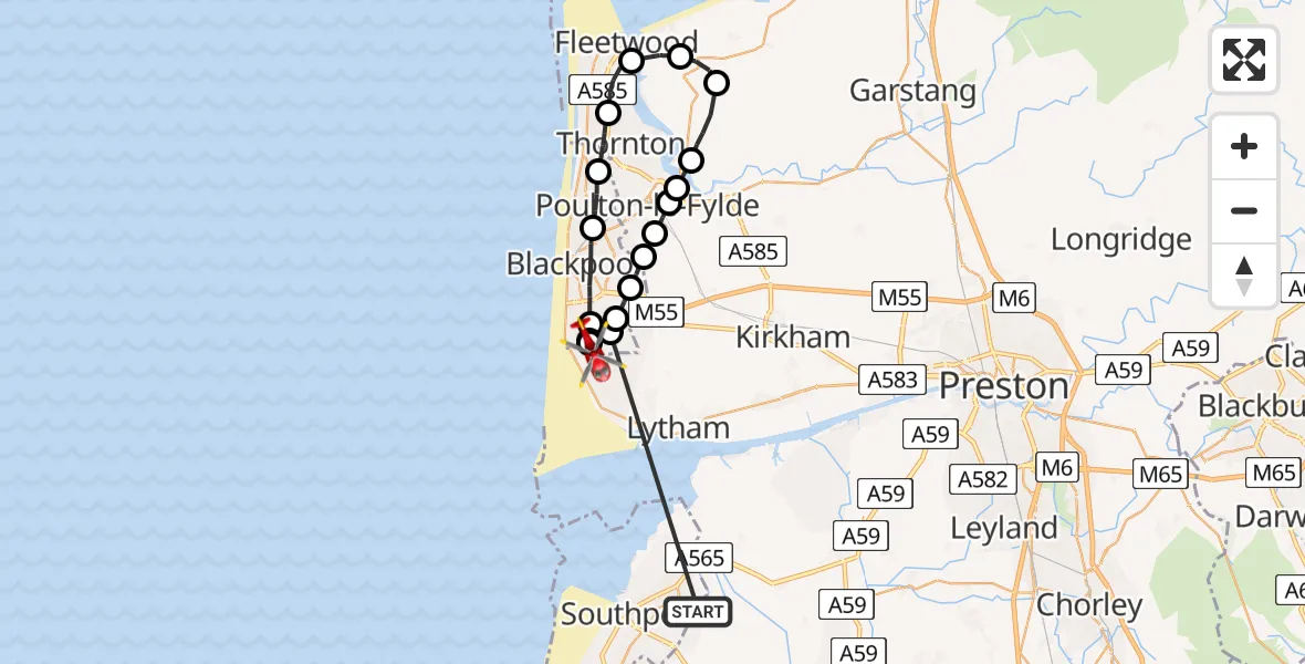
On Tuesday, 7 April 2026 at 9:48, a Air Ambulance Helicopter departed from West Lancashire to Blackpool Airport. It was the Air Ambulance Helicopter with registration number G-NWAA. The flight lasted 11 minutes. During that period, the aircraft travelled 32 miles at an average speed of 171 miles per hour at a maximum altitude of 1050 feet.
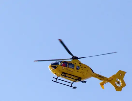
Helicopter: G-NWAA
The helicopter G-NWAA is used as a air ambulance helicopter. The main purpose of this aircraft is to transport a Mobile Medical Team to an incident as quickly as possible, enabling the trauma doctor to provide immediate first aid on site. The aircraft is flying this flight as Air Ambulance Helicopter.
Photo: David P Howard
32 miles
1050 feet
171 mph
12 minutes
09:48
09:59

Route
Blackpool Airport, Blackpool09:59
Blackpool Airport, Blackpool09:58
Squires Gate, Blackpool09:58
Common Edge, Blackpool09:57
Blackpool, Blackpool09:56
Bispham, Blackpool09:55
Thornton, Lancashire09:54
Fleetwood, Lancashire09:53
Preesall, Lancashire09:52
Stalmine, Lancashire09:52
Hambleton, Lancashire09:51
Little Singleton, Lancashire09:50
Poulton-le-Fylde, Lancashire09:50
Hardhorn, Lancashire09:49
Staining, Lancashire09:49
Mereside, Blackpool09:49
Blackpool, Blackpool09:48
Great Marton Moss, Blackpool09:48
Wyke Lane, Lancashire09:48
Today
Helicopter flights on your website?
You can easily display helicopter flights on your own website. Use the embed code.
