Air Ambulance Helicopter to Redhill Aerodrome
Tuesday, 7 April 2026 | 2:51 | From Brighton City Airport
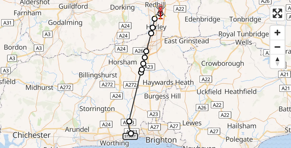
On Tuesday, 7 April 2026 at 2:51, a Air Ambulance Helicopter departed from Brighton City Airport to Redhill Aerodrome. It was the Air Ambulance Helicopter with registration number G-LNAC. The flight lasted 18 minutes. During that period, the aircraft travelled 29 miles at an average speed of 98 miles per hour at a maximum altitude of 1525 feet.
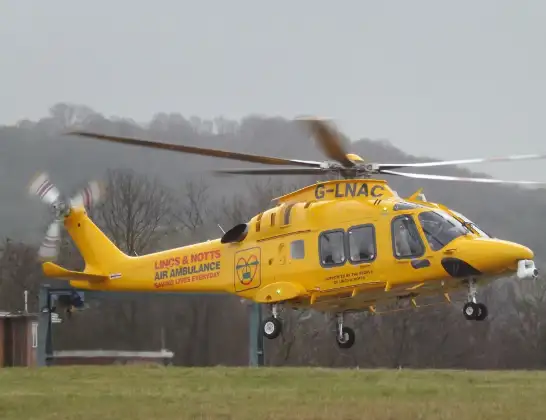
Helicopter: G-LNAC
The helicopter G-LNAC is used as a air ambulance helicopter. The main purpose of this aircraft is to transport a Mobile Medical Team to an incident as quickly as possible, enabling the trauma doctor to provide immediate first aid on site. The aircraft is flying this flight as Air Ambulance Helicopter.
Photo: James from Cheltenham, Gloucestershire
29 miles
1525 feet
98 mph
18 minutes
02:51
03:09

Route
Redhill Aerodrome, Redhill, Surrey03:09
Redhill Aerodrome, Redhill, Surrey03:09
Redhill Aerodrome, Redhill, Surrey03:06
Salfords, Surrey03:05
Horley, Surrey03:04
London Gatwick Airport, London03:04
Crawley, West Sussex03:02
Horsham, West Sussex03:02
Slaugham, West Sussex03:01
Horsham, West Sussex03:01
Slaugham, West Sussex03:01
Horsham, West Sussex02:57
Shoreham Bypass, West Sussex02:56
Shoreham-by-Sea, West Sussex02:55
Brighton City Airport, Brighton, East Sussex02:51
Live flights
Today
Police Helicopter to Manchester Barton Aerodrome11 Jun 23:39
Police Helicopter to Birmingham Airport11 Jun 23:30
Helicopter flights on your website?
You can easily display helicopter flights on your own website. Use the embed code.
