Air Ambulance Helicopter to Coire Odhar
Tuesday, 7 April 2026 | 1:59 | From Inverness
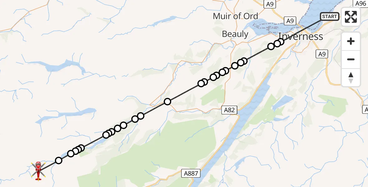
On Tuesday, 7 April 2026 at 1:59, a Air Ambulance Helicopter departed from Inverness to Coire Odhar. It was the Air Ambulance Helicopter with registration number G-GSAS. The flight lasted 25 minutes. During that period, the aircraft travelled 44 miles at an average speed of 104 miles per hour at a maximum altitude of 6025 feet.
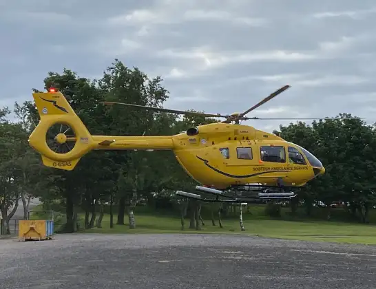
Helicopter: G-GSAS
The helicopter G-GSAS is used as a air ambulance helicopter. The main purpose of this aircraft is to transport a Mobile Medical Team to an incident as quickly as possible, enabling the trauma doctor to provide immediate first aid on site. The aircraft is flying this flight as Air Ambulance Helicopter.
Photo: Scanbus
44 miles
6025 feet
104 mph
26 minutes
01:59
02:25

Route
Coire Odhar, Highland02:25
Athnamulloch, Highland02:23
Highland, Highland02:22
Loch Affric02:22
Public Footpath to Cougie, Highland02:21
Affric Lodge, Highland02:21
Highland, Highland02:19
Loch Beinn a' Mheadhoin02:19
Highland, Highland02:19
Loch Beinn a' Mheadhoin02:18
Golden Eagles, Highland02:18
Tomich, Highland02:17
Highland, Highland02:16
Cannich, Highland02:14
Highland, Highland02:11
Loch Bruicheach02:11
Highland, Highland02:10
Culnaskiach, Highland02:10
Ardendrain, Highland02:09
Achnacloich Farmhouse, Highland02:09
Kiltarlity, Highland02:08
Kirkhill and Bunchrew, Highland02:08
Beauly, Highland02:08
Kirkhill and Bunchrew, Highland02:05
Inverness, Highland02:05
Kirkhill and Bunchrew, Highland02:05
Inverness, Highland01:59
Live flights
Today
Police Helicopter to Glasgow, South Street6 Jul 23:22
Police Helicopter to South Lanarkshire6 Jul 23:09
Police Helicopter to North Weald Airfield6 Jul 22:57
Police Aircraft to East Midlands Airport6 Jul 22:56
Police Helicopter to Lochhead, A726 Jul 22:39
Flights Inverness
Air Ambulance Aircraft to North Sea5 Jul 16:53
Air Ambulance Helicopter to Inverness4 Jul 01:22
Air Ambulance Helicopter to Inner Seas3 Jul 13:51
Air Ambulance Helicopter to Inverness, A963 Jul 11:53
Air Ambulance Helicopter to Highland3 Jul 09:44
Air Ambulance Helicopter to Highland3 Jul 04:01
Helicopter flights on your website?
You can easily display helicopter flights on your own website. Use the embed code.
