Police Helicopter to Parley Cross, Christchurch Road
Monday, 6 April 2026 | 19:01 | From Bournemouth Airport
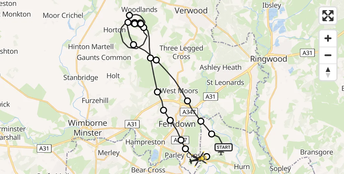
On Monday, 6 April 2026 at 19:01, a Police Helicopter departed from Bournemouth Airport to Parley Cross. It was the Police Helicopter with registration number G-CPAO. The flight lasted 32 minutes. During that period, the aircraft travelled 24 miles at an average speed of 45 miles per hour at a maximum altitude of 1675 feet.
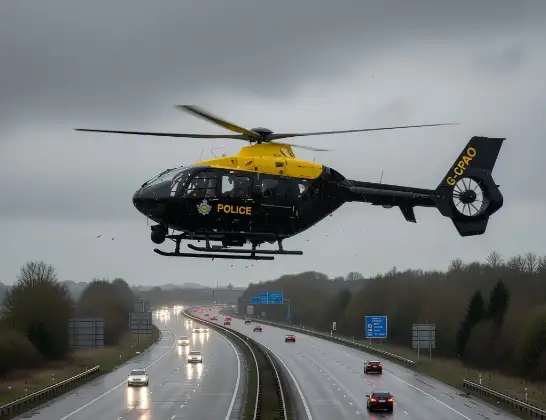
Helicopter: G-CPAO
The helicopter G-CPAO is used by the British police. The helicopter is deployed in pursuits, missing persons cases and other incidents where a helicopter provides added value.
Photo: Tony Melony
24 miles
1675 feet
45 mph
33 minutes
19:01
19:33

Route
Christchurch Road, Dorset19:33
Bournemouth Airport, Bournemouth19:33
Parley Cross, Dorset19:32
Dudsbury, Dorset19:32
Ferndown, Dorset19:31
Ameysford, Dorset19:31
Ferndown, Dorset19:31
Holt, Dorset19:30
Horton, Dorset19:24
Woodlands, Dorset19:23
Horton, Dorset19:21
Woodlands, Dorset19:21
Horton, Dorset19:10
Woodlands, Dorset19:10
Horton, Dorset19:10
Woodlands, Dorset19:08
Horton, Dorset19:06
Woodlands, Dorset19:04
Horton, Dorset19:04
Holt, Dorset19:03
West Moors, Dorset19:02
Ferndown, Dorset19:02
Hurn, Bournemouth, Christchurch and Poole19:01
Bournemouth Airport, Bournemouth19:01
Live flights
Today
Coastguard Helicopter to Kilmuir09:58:46
Helicopter flights on your website?
You can easily display helicopter flights on your own website. Use the embed code.
