Police Helicopter to Boverton, Magpie Road
Monday, 6 April 2026 | 16:23 | From St Athan
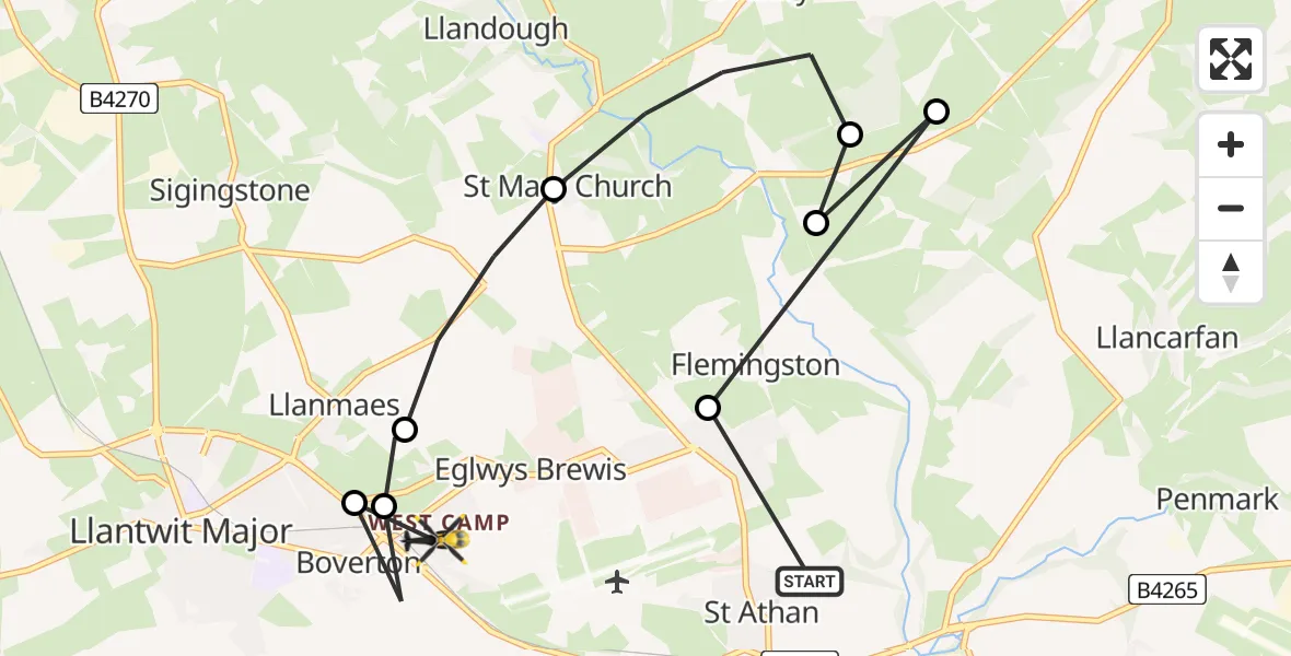
On Monday, 6 April 2026 at 16:23, a Police Helicopter departed from St Athan to Boverton. It was the Police Helicopter with registration number G-NWOI. The flight lasted 4 minutes. During that period, the aircraft travelled 10 miles at an average speed of 155 miles per hour at a maximum altitude of 1225 feet.
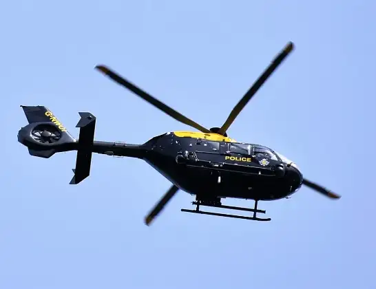
Helicopter: G-NWOI
The helicopter G-NWOI is used by the British police. The helicopter is deployed in pursuits, missing persons cases and other incidents where a helicopter provides added value.
Photo: Alec Wilson
10 miles
1225 feet
155 mph
4 minutes
16:23
16:27

Route
Magpie Road, Vale of Glamorgan16:27
Llanmaes, Vale of Glamorgan16:26
Boverton, Vale of Glamorgan16:26
Llanmaes, Vale of Glamorgan16:26
St Mary Church, Vale of Glamorgan16:25
St Hilary, Vale of Glamorgan16:24
Flemingston, Vale of Glamorgan16:24
Bonvilston, Vale of Glamorgan16:23
Flemingston, Vale of Glamorgan16:23
Castleton Park, Vale of Glamorgan16:23
Today
Flights Boverton
Police Helicopter to Boverton, Llanmaes10 Jul 19:54
Police Helicopter to Bonvilston, Boverton Road10 Jul 01:05
Police Helicopter to MOD St Athan9 Jul 22:18
Police Helicopter to Almondsbury Helicopter Base15 Jun 16:12
Police Helicopter to Coytrahen, Bridgend Road31 May 20:28
Police Helicopter to Bristol Channel31 May 13:03
Police Helicopter to MOD St Athan31 May 11:10
Helicopter flights on your website?
You can easily display helicopter flights on your own website. Use the embed code.
