Coastguard Helicopter to Inner Seas
Monday, 6 April 2026 | 15:15 | From Stornoway Airport
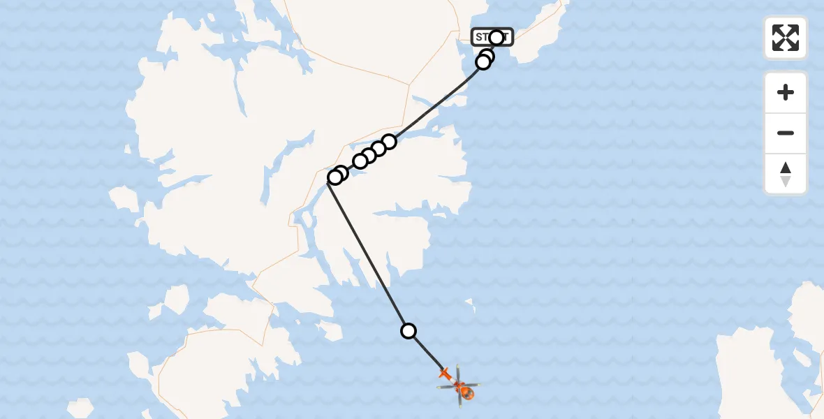
On Monday, 6 April 2026 at 15:15, a Coastguard Helicopter departed from Stornoway Airport to Inner Seas. It was the Coastguard Helicopter with registration number G-MCGZ. The flight lasted 23 minutes. During that period, the aircraft travelled 39 miles at an average speed of 101 miles per hour at a maximum altitude of 1400 feet.
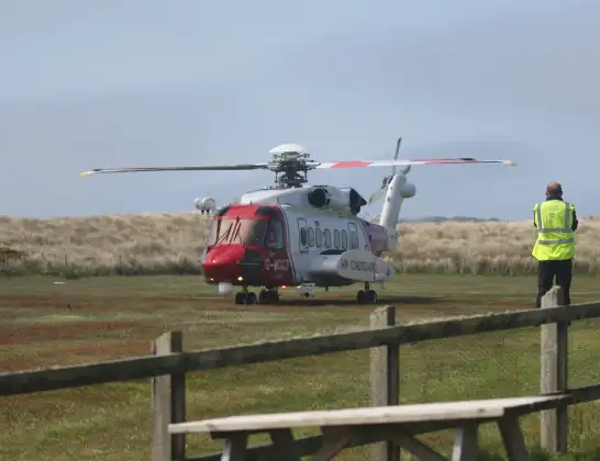
Helicopter: G-MCGZ
The helicopter G-MCGZ is used by the British Coastguard. The helicopter is deployed in search and rescue operations at sea, rescue operations involving ships or drilling platforms, patrols to prevent smuggling or piracy, environmental monitoring and disaster relief support.
Photo: Andrewrabbott
39 miles
1400 feet
101 mph
24 minutes
15:15
15:38

Route
Inner Seas, 15:38
Inner Seas15:34
Àirigh Dhòmhnaill Chaim, Na h-Eileanan Siar15:24
Sròmos, Na h-Eileanan Siar15:24
Baile Ailein, Na h-Eileanan Siar15:23
Ceann Loch Shìophoirt, Na h-Eileanan Siar15:23
Baile Ailein, Na h-Eileanan Siar15:22
Tàbost, Na h-Eileanan Siar15:22
Inner Seas15:17
Tolm, Na h-Eileanan Siar15:17
Inner Seas, 15:16
Inner Seas15:15
Stornoway Airport, Stornoway, Western Isles15:15
Live flights
Today
Air Ambulance Helicopter to Cray10:03:17
Helicopter flights on your website?
You can easily display helicopter flights on your own website. Use the embed code.
