Air Ambulance Helicopter to Norton Canes, Watling Street
Sunday, 5 April 2026 | 17:23 | From Stafford
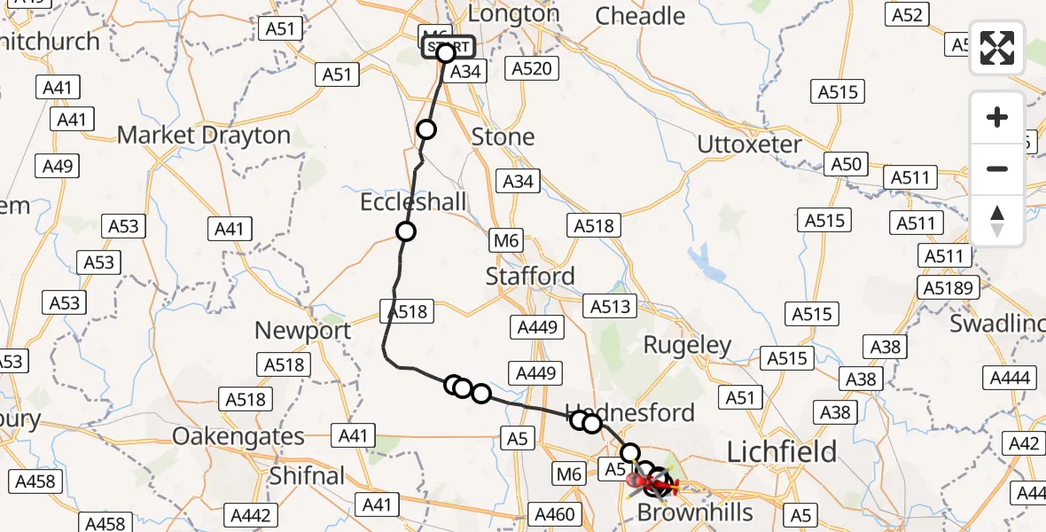
On Sunday, 5 April 2026 at 17:23, a Air Ambulance Helicopter departed from Stafford to Norton Canes. It was the Air Ambulance Helicopter with registration number G-SCAA. The flight lasted 15 minutes. During that period, the aircraft travelled 33 miles at an average speed of 132 miles per hour at a maximum altitude of 1400 feet.
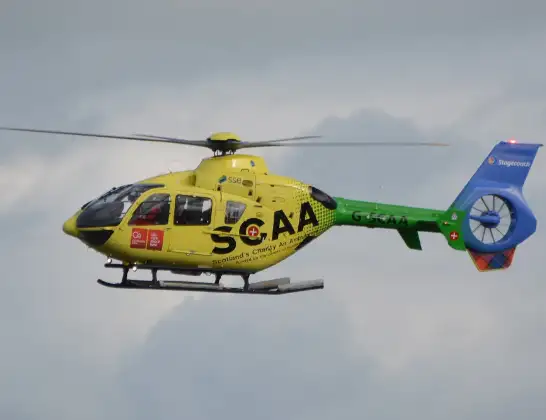
Helicopter: G-SCAA
The helicopter G-SCAA is used as a air ambulance helicopter. The main purpose of this aircraft is to transport a Mobile Medical Team to an incident as quickly as possible, enabling the trauma doctor to provide immediate first aid on site. The aircraft is flying this flight as Air Ambulance Helicopter.
Photo: Jonathan Payne
34 miles
1400 feet
132 mph
16 minutes
17:23
17:38

Route
Watling Street, West Midlands - Staffordshire17:38
Brownhills West, Staffordshire17:38
Norton Canes, Staffordshire17:38
Brownhills West, Staffordshire17:37
Norton Canes, Staffordshire17:37
Cannock Chase, Staffordshire17:36
Brownhills West, Staffordshire17:36
Norton Canes, Staffordshire17:36
Heath Hayes, Staffordshire17:35
Cannock, Staffordshire17:34
South Staffordshire, Staffordshire17:34
Penkridge, Staffordshire17:32
Lapley, Staffordshire17:32
South Staffordshire, Staffordshire17:32
Stafford, Staffordshire17:28
Eccleshall, Staffordshire17:26
Stafford, Staffordshire17:24
Parkway, West Midlands - Staffordshire17:23
Live flights
Today
Coastguard Helicopter to Solent Airport5 Jul 23:21
Air Ambulance Aircraft to RAF Lossiemouth5 Jul 23:17
Police Helicopter to Glasgow, Beech Avenue5 Jul 23:05
Police Aircraft to East Midlands Airport5 Jul 22:38
Air Ambulance Helicopter to North Sea5 Jul 22:14
Police Helicopter to Solihull, Centro Way5 Jul 22:09
Police Helicopter to Hawarden Airport5 Jul 21:47
Flights Stafford
Air Ambulance Helicopter to West Lancashire22 Jun 09:15
Air Ambulance Helicopter to Stafford, A51825 May 17:40
Helicopter flights on your website?
You can easily display helicopter flights on your own website. Use the embed code.
