Air Ambulance Helicopter to Stroud, Elstub Lane
Sunday, 5 April 2026 | 16:34 | From Almondsbury Helicopter Base
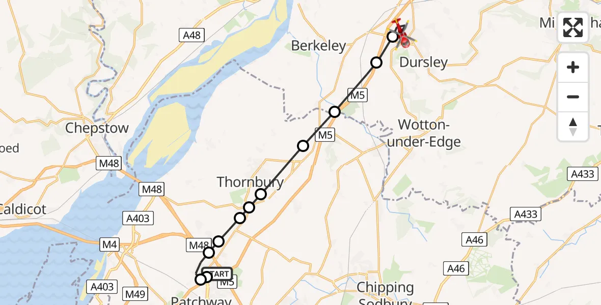
On Sunday, 5 April 2026 at 16:34, a Air Ambulance Helicopter departed from Almondsbury Helicopter Base to Stroud. It was the Air Ambulance Helicopter with registration number G-GWAC. The flight lasted 8 minutes. During that period, the aircraft travelled 15 miles at an average speed of 123 miles per hour at a maximum altitude of 1325 feet.
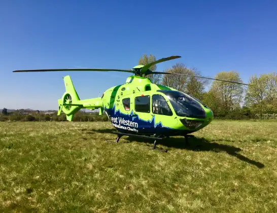
Helicopter: G-GWAC
The helicopter G-GWAC is used as a air ambulance helicopter. The main purpose of this aircraft is to transport a Mobile Medical Team to an incident as quickly as possible, enabling the trauma doctor to provide immediate first aid on site. The aircraft is flying this flight as Air Ambulance Helicopter.
Photo: Mojo0306
16 miles
1325 feet
123 mph
8 minutes
16:34
16:42

Route
Stroud, Gloucestershire16:42
Elstub Lane, Gloucestershire16:41
Elstub Lane, Gloucestershire16:41
Woodend Lane, Gloucestershire16:41
Stroud, Gloucestershire16:40
Dursley, Gloucestershire16:40
Stroud, Gloucestershire16:39
Falfield, South Gloucestershire16:38
Thornbury, South Gloucestershire16:37
Alveston, South Gloucestershire16:37
Rudgeway, South Gloucestershire16:36
Old Down, South Gloucestershire16:36
Tockington, South Gloucestershire16:36
Gloucester Road, South Gloucestershire16:35
Woodlands, South Gloucestershire16:35
Almondsbury Helicopter Base, Bristol, Somerset16:34
Live flights
Today
Flights Stroud
Police Helicopter to Stroud, Calf Way9 Jul 12:07
Air Ambulance Helicopter to Sherston, B404028 Jun 18:08
Air Ambulance Helicopter to Stroud18 Jun 14:41
Helicopter flights on your website?
You can easily display helicopter flights on your own website. Use the embed code.
