Air Ambulance Helicopter to Alton Barnes, Village Street
Sunday, 5 April 2026 | 13:03 | From Wiltshire Air Ambulance
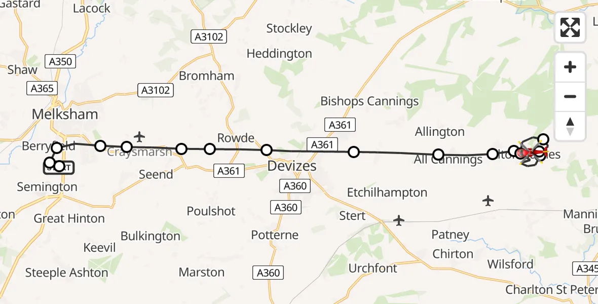
On Sunday, 5 April 2026 at 13:03, a Air Ambulance Helicopter departed from Wiltshire Air Ambulance to Alton Barnes. It was the Air Ambulance Helicopter with registration number G-WLTS. The flight lasted 10 minutes. During that period, the aircraft travelled 17 miles at an average speed of 97 miles per hour at a maximum altitude of 1050 feet.
Helicopter: G-WLTS
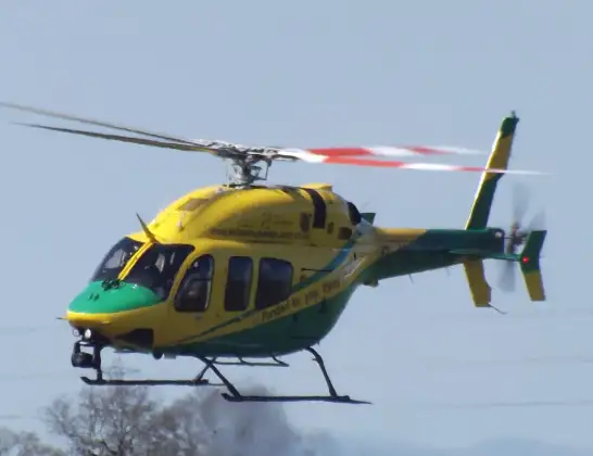
The helicopter G-WLTS is used as a air ambulance helicopter. The main purpose of this aircraft is to transport a Mobile Medical Team to an incident as quickly as possible, enabling the trauma doctor to provide immediate first aid on site. The aircraft is flying this flight as Air Ambulance Helicopter.
Photo: James
17 miles
1050 feet
97 mph
11 minutes
13:03
13:14

Route
Village Street, Wiltshire13:14
Alton Barnes, Wiltshire13:13
Alton Priors, Wiltshire13:13
Alton Barnes, Wiltshire13:12
Woodborough, Wiltshire13:09
Alton Barnes, Wiltshire13:09
Stanton St Bernard, Wiltshire13:08
All Cannings, Wiltshire13:08
Bishops Cannings, Wiltshire13:07
Devizes, Wiltshire13:06
Rowde, Wiltshire13:06
Seend, Wiltshire13:06
Seend Cleeve, Wiltshire13:05
Melksham, Wiltshire13:05
Berryfield, Wiltshire13:04
Semington, Wiltshire13:04
Melksham, Wiltshire13:03
Commerce Way, Wiltshire13:03
Live flights
Today
Coastguard Helicopter to Ventnor21:17:52
Helicopter flights on your website?
You can easily display helicopter flights on your own website. Use the embed code.
