Police Helicopter to East Ardsley, Stoney Lane
Sunday, 5 April 2026 | 0:42 | From East Ardsley
On Sunday, 5 April 2026 at 0:42, a Police Helicopter departed from East Ardsley to East Ardsley. It was the Police Helicopter with registration number G-POLB. The flight lasted 20 minutes. During that period, the aircraft travelled 25 miles at an average speed of 75 miles per hour at a maximum altitude of 2400 feet.
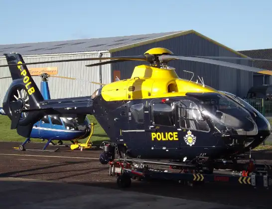
Helicopter: G-POLB
The helicopter G-POLB is used by the British police. The helicopter is deployed in pursuits, missing persons cases and other incidents where a helicopter provides added value.
Photo: James from Cheltenham, Gloucestershire
26 miles
2400 feet
75 mph
21 minutes
00:42
01:03

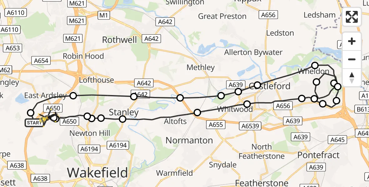
Route
Stoney Lane, West Yorkshire - Wakefield01:03
East Ardsley, Wakefield01:02
Wrenthorpe, Wakefield01:02
Newton Hill, Wakefield01:00
Stanley, Wakefield01:00
Lofthouse Gate, Wakefield01:00
Stanley, Wakefield00:59
Normanton and Altofts, Wakefield00:57
Whitwood, Wakefield00:55
Castleford, Wakefield00:54
Wheldon, Wakefield00:53
Pontefract, Wakefield00:53
Ferrybridge, Wakefield00:52
Wheldon, Wakefield00:51
New Fryston, Wakefield00:50
Wheldon, Wakefield00:48
New Fryston, Wakefield00:47
Castleford, Wakefield00:46
Whitwood, Wakefield00:45
Whitwood, Leeds00:45
Normanton and Altofts, Wakefield00:45
Stanley, Wakefield00:44
Lofthouse Gate, Wakefield00:43
Orchard Close, West Yorkshire - Leeds00:43
Woodhouse Lane, West Yorkshire - Leeds00:43
M1, West Yorkshire - Leeds00:42
Live flights
Today
Helicopter flights on your website?
You can easily display helicopter flights on your own website. Use the embed code.
