Police Helicopter to High Grange, Grange Bank
Saturday, 4 April 2026 | 12:30 | From Newcastle International Airport
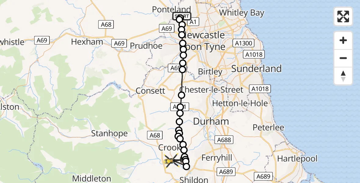
On Saturday, 4 April 2026 at 12:30, a Police Helicopter departed from Newcastle International Airport to High Grange. It was the Police Helicopter with registration number G-POLA. The flight lasted 17 minutes. During that period, the aircraft travelled 31 miles at an average speed of 111 miles per hour at a maximum altitude of 1650 feet.
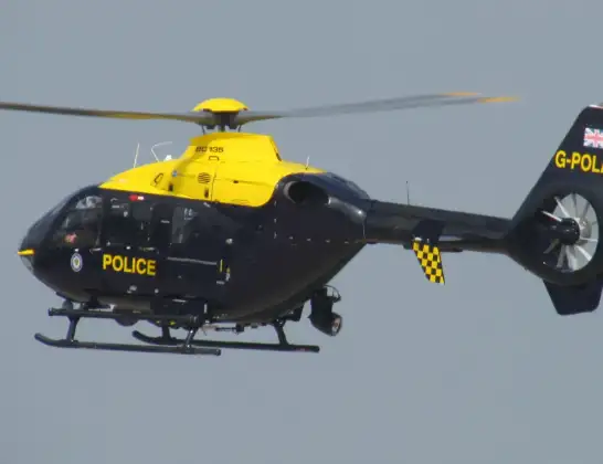
Helicopter: G-POLA
The helicopter G-POLA is used by the British police. The helicopter is deployed in pursuits, missing persons cases and other incidents where a helicopter provides added value.
Photo: ozz13x
31 miles
1650 feet
111 mph
17 minutes
12:30
12:46

Route
Grange Bank, County Durham12:46
Bishop Auckland, County Durham12:43
Spennymoor, County Durham12:43
Bishop Auckland, County Durham12:43
Sunnybrow, County Durham12:42
Crook, County Durham12:42
Willington, County Durham12:41
Oakenshaw, County Durham12:41
Brancepeth, County Durham12:41
Waterhouses, County Durham12:40
Durham, County Durham12:40
Esh Winning, County Durham12:39
Esh, County Durham12:39
Lanchester, County Durham12:38
Burnhope, County Durham12:37
Stanley, County Durham12:35
Gateshead, Gateshead12:34
Whickham, Gateshead12:34
Gateshead, Gateshead12:33
Blaydon on Tyne, Gateshead12:33
Denton Burn, Newcastle upon Tyne12:32
Westerhope, Newcastle upon Tyne12:31
Woolsington, Newcastle upon Tyne12:31
Callerton, Newcastle upon Tyne12:30
Woolsington, Newcastle upon Tyne12:30
Newcastle International Airport, Newcastle upon Tyne, Tyne and Wear12:30
Today
Police Helicopter to Falkirk02:12:08
Helicopter flights on your website?
You can easily display helicopter flights on your own website. Use the embed code.
