Air Ambulance Helicopter to Earls Colne Airfield
Friday, 3 April 2026 | 19:36 | From Basildon
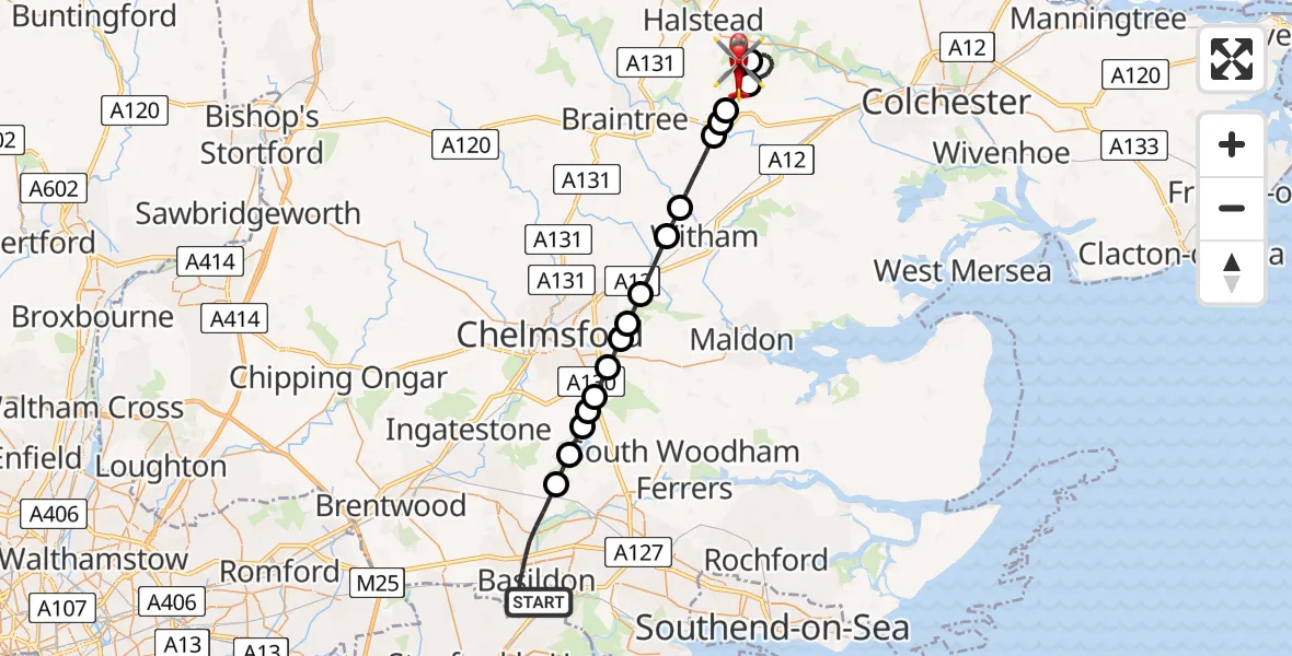
On Friday, 3 April 2026 at 19:36, a Air Ambulance Helicopter departed from Basildon to Earls Colne Airfield. It was the Air Ambulance Helicopter with registration number G-EHAT. The flight lasted 18 minutes. During that period, the aircraft travelled 30 miles at an average speed of 101 miles per hour at a maximum altitude of 1125 feet.
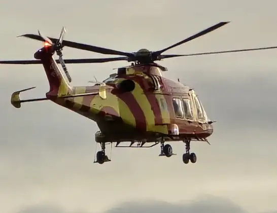
Helicopter: G-EHAT
The helicopter G-EHAT is used as a air ambulance helicopter. The main purpose of this aircraft is to transport a Mobile Medical Team to an incident as quickly as possible, enabling the trauma doctor to provide immediate first aid on site. The aircraft is flying this flight as Air Ambulance Helicopter.
Photo: By Steve Knight
31 miles
1125 feet
101 mph
19 minutes
19:36
19:54

Route
Earls Colne Airfield, Colchester, Essex19:54
Earls Colne Airfield, Colchester, Essex19:54
Earls Colne Airfield, Colchester, Essex19:52
Braintree, Essex19:50
Coggeshall, Essex19:49
Braintree, Essex19:49
Coggeshall, Essex19:48
Braintree, Essex19:47
Witham, Essex19:47
Braintree, Essex19:46
Little Baddow, Essex19:45
Chelmsford, Essex19:45
Sandon, Essex19:44
Howe Green, Essex19:44
Chelmsford, Essex19:44
West Hanningfield, Essex19:43
Hanningfield Reservoir19:43
Downham, Essex19:42
Nether Mayne, Essex19:39
Basildon, Essex19:36
Live flights
Today
Police Helicopter to Glasgow16:00:37
Flights Basildon
Air Ambulance Helicopter to Basildon, Canvey Way29 Jun 09:30
Air Ambulance Helicopter to Earls Colne Airfield12 Jun 11:43
Air Ambulance Helicopter to North Weald Airfield10 Jun 13:27
Air Ambulance Helicopter to Basildon10 Jun 11:34
Helicopter flights on your website?
You can easily display helicopter flights on your own website. Use the embed code.
