Police Helicopter to Belfast City District, Springfield Road
Friday, 3 April 2026 | 13:02 | From Belfast City District
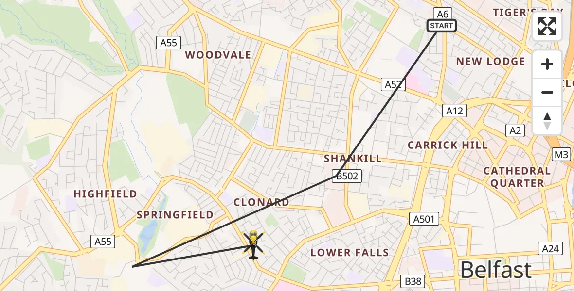
On Friday, 3 April 2026 at 13:02, a Police Helicopter departed from Belfast City District to Belfast City District. It was the Police Helicopter with registration number G-PSNO. The flight lasted 3 minutes. During that period, the aircraft travelled 2 miles at an average speed of 48 miles per hour at a maximum altitude of 1775 feet.
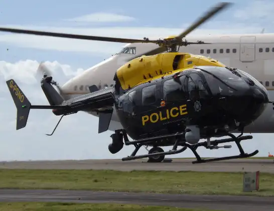
Helicopter: G-PSNO
The helicopter G-PSNO is used by the British police. The helicopter is deployed in pursuits, missing persons cases and other incidents where a helicopter provides added value.
Photo: James
3 miles
1775 feet
48 mph
4 minutes
13:02
13:05

Route
Springfield Road, Belfast13:05
Duncairn Avenue, Belfast13:02
Live flights
Helicopter flights on your website?
You can easily display helicopter flights on your own website. Use the embed code.
