Coastguard Helicopter to North Atlantic Ocean
Thursday, 2 April 2026 | 23:07 | From Kirkwall Airport
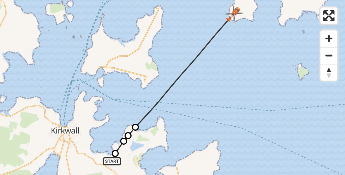
On Thursday, 2 April 2026 at 23:07, a Coastguard Helicopter departed from Kirkwall Airport to North Atlantic Ocean. It was the Coastguard Helicopter with registration number G-MCGL. The flight lasted 4 minutes. During that period, the aircraft travelled 11 miles at an average speed of 166 miles per hour at a maximum altitude of 1250 feet.
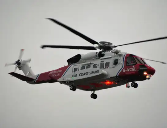
Helicopter: G-MCGL
The helicopter G-MCGL is used by the British Coastguard. The helicopter is deployed in search and rescue operations at sea, rescue operations involving ships or drilling platforms, patrols to prevent smuggling or piracy, environmental monitoring and disaster relief support.
Photo: Jonathan Payne
12 miles
1250 feet
166 mph
5 minutes
23:07
23:11

Route
North Atlantic Ocean, 23:11
North Atlantic Ocean23:08
The Cairn, Orkney Islands23:08
Orkney Islands, Orkney Islands23:08
Tankerness, Orkney Islands23:08
Tankerness Hall Road, Orkney Islands23:07
Live flights
Today
Helicopter flights on your website?
You can easily display helicopter flights on your own website. Use the embed code.
