Air Ambulance Helicopter to Mountain Ash, Aberdare Road
Thursday, 2 April 2026 | 19:23 | From Cardiff Heliport
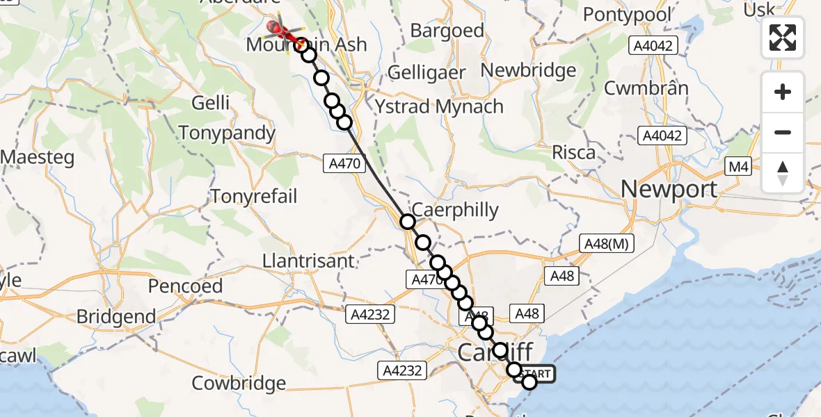
On Thursday, 2 April 2026 at 19:23, a Air Ambulance Helicopter departed from Cardiff Heliport to Mountain Ash. It was the Air Ambulance Helicopter with registration number G-WROL. The flight lasted 10 minutes. During that period, the aircraft travelled 20 miles at an average speed of 115 miles per hour at a maximum altitude of 1475 feet.
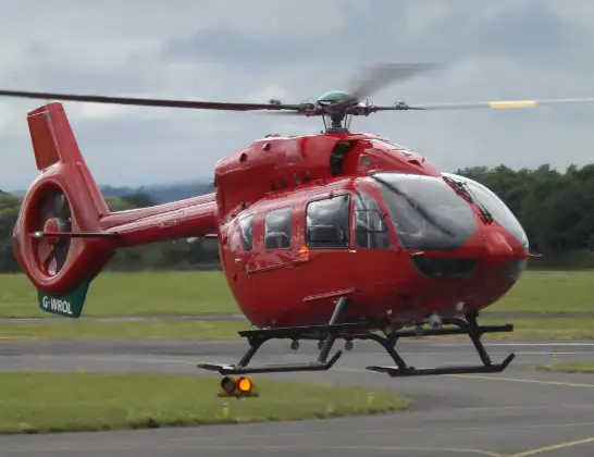
Helicopter: G-WROL
The helicopter G-WROL is used as a air ambulance helicopter. The main purpose of this aircraft is to transport a Mobile Medical Team to an incident as quickly as possible, enabling the trauma doctor to provide immediate first aid on site. The aircraft is flying this flight as Air Ambulance Helicopter.
Photo: James from Cheltenham, Gloucestershire
20 miles
1475 feet
115 mph
11 minutes
19:23
19:33

Route
Aberdare Road, Rhondda Cynon Taf19:33
Mountain Ash, Rhondda Cynon Taf19:33
Miskin, Rhondda Cynon Taf19:33
Penrhiwceiber, Rhondda Cynon Taf19:32
Abercynon, Rhondda Cynon Taf19:32
Cilfynydd, Rhondda Cynon Taf19:31
Glyncoch, Rhondda Cynon Taf19:31
Pontypridd, Rhondda Cynon Taf19:29
Nantgarw, Rhondda Cynon Taf19:28
Tongwynlais, Cardiff19:28
Pantmawr, Cardiff19:28
Coryton, Cardiff19:27
Pantmawr, Cardiff19:27
Birchgrove, Cardiff19:27
Gabalfa, Cardiff19:26
Maindy, Cardiff19:26
Castle, Cardiff19:26
Civic Centre, Cardiff19:25
Cold Stores Road, Cardiff19:24
Cardiff Bay, Cardiff19:24
Cardiff Heliport, Cardiff19:23
Live flights
Police Helicopter on its way from RAF Benson12 Jul 22:54
Police Helicopter on its way from Dundrod12 Jul 22:50
Police Helicopter on its way from East Ardsley12 Jul 22:44
Police Helicopter on its way from Worsley12 Jul 22:11
Today
Air Ambulance Helicopter to Glasgow Airport12 Jul 22:48
Air Ambulance Helicopter to Norwich Airport12 Jul 22:27
Air Ambulance Helicopter to Northrepps Aerodrome12 Jul 22:23
Police Helicopter to Harborough, Sulby Road12 Jul 22:20
Air Ambulance Helicopter to Derriford Hospital12 Jul 22:12
Air Ambulance Helicopter to Northrepps Aerodrome12 Jul 22:03
Air Ambulance Helicopter to Warwick, Henley Road12 Jul 21:38
Helicopter flights on your website?
You can easily display helicopter flights on your own website. Use the embed code.
