Air Ambulance Helicopter to RAF Benson
Thursday, 2 April 2026 | 15:10 | From Letcombe Regis
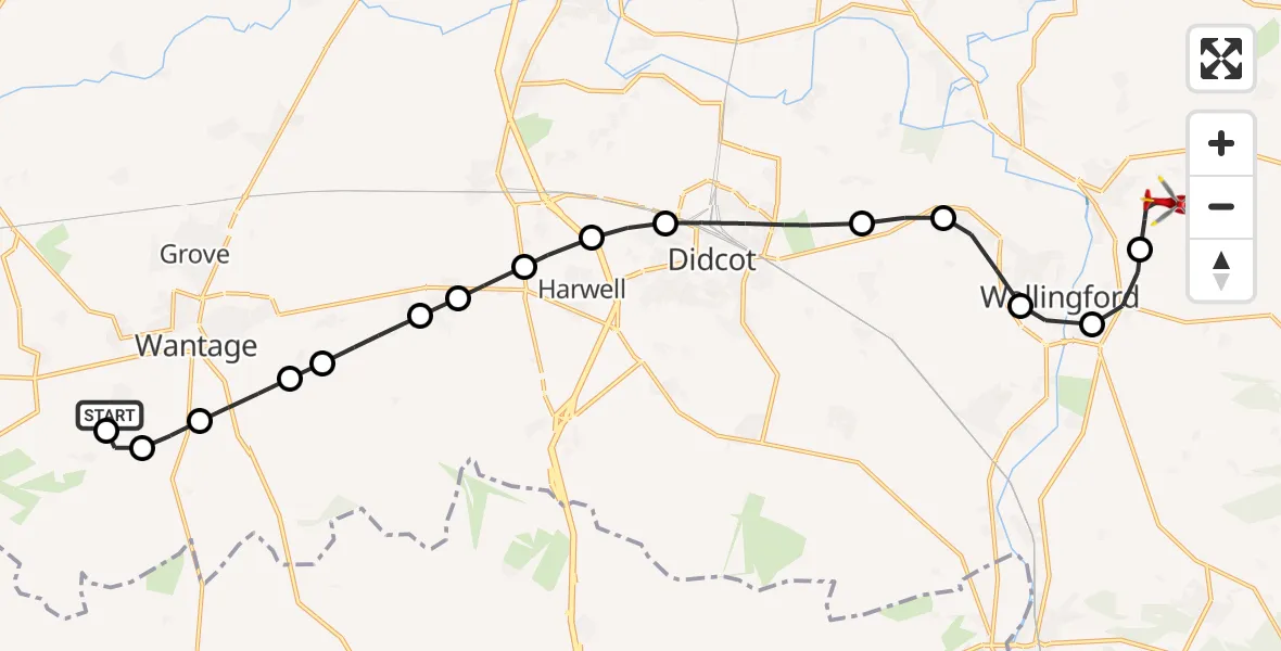
On Thursday, 2 April 2026 at 15:10, a Air Ambulance Helicopter departed from Letcombe Regis to RAF Benson. It was the Air Ambulance Helicopter with registration number G-TVLY. The flight lasted 13 minutes. During that period, the aircraft travelled 19 miles at an average speed of 92 miles per hour at a maximum altitude of 1200 feet.
Helicopter: G-TVLY
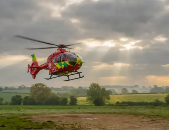
The helicopter G-TVLY is used as a air ambulance helicopter. The main purpose of this aircraft is to transport a Mobile Medical Team to an incident as quickly as possible, enabling the trauma doctor to provide immediate first aid on site. The aircraft is flying this flight as Air Ambulance Helicopter.
Photo: Tony Melony
20 miles
1200 feet
92 mph
13 minutes
15:10
15:23

Route
RAF Benson, Wallingford, Oxfordshire15:23
RAF Benson, Wallingford, Oxfordshire15:21
Crowmarsh Gifford, Oxfordshire15:21
Wallingford, Oxfordshire15:20
Brightwell-cum-Sotwell, Oxfordshire15:19
North Moreton, Oxfordshire15:19
Didcot, Oxfordshire15:18
Vale of White Horse, Oxfordshire15:17
Harwell, Oxfordshire15:17
East Hendred, Oxfordshire15:16
West Hendred, Oxfordshire15:16
Ardington, Oxfordshire15:15
East Lockinge, Oxfordshire15:15
Wantage, Oxfordshire15:14
Letcombe Regis, Oxfordshire15:14
Letcombe Bassett, Oxfordshire15:13
Letcombe Regis, Oxfordshire15:13
Letcombe Regis, Oxfordshire15:10
Live flights
Today
Helicopter flights on your website?
You can easily display helicopter flights on your own website. Use the embed code.
