Coastguard Helicopter to Inverness Airport
Monday, 30 March 2026 | 20:08 | From Inner Seas
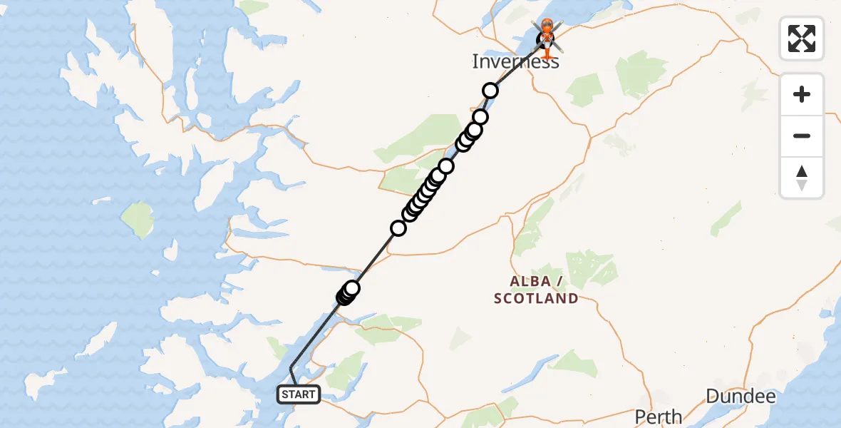
On Monday, 30 March 2026 at 20:08, a Coastguard Helicopter departed from Inner Seas to Inverness Airport. It was the Coastguard Helicopter with registration number G-MCGT. The flight lasted 41 minutes. During that period, the aircraft travelled 96 miles at an average speed of 140 miles per hour at a maximum altitude of 5575 feet.
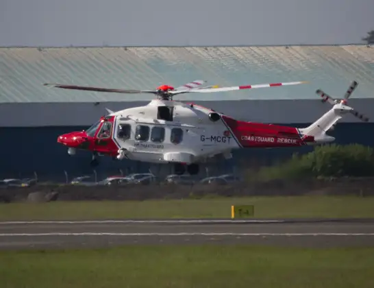
Helicopter: G-MCGT
The helicopter G-MCGT is used by the British Coastguard. The helicopter is deployed in search and rescue operations at sea, rescue operations involving ships or drilling platforms, patrols to prevent smuggling or piracy, environmental monitoring and disaster relief support.
Photo: Ronnie Macdonald
96 miles
5575 feet
140 mph
42 minutes
20:08
20:49

Route
Inverness Airport, Inverness20:49
Inverness Airport, Inverness20:48
Inverness Airport, Inverness20:45
Dalcross Heliport20:45
Inverness, Highland20:39
Loch Ness20:37
Inverfarigaig, Highland20:35
South Loch Ness Trail, Highland20:35
Foyers, Highland20:34
Tom Aiteachaidh, Highland20:34
Highland, Highland20:32
Fort Augustus, Highland20:31
Fort Augustus Airstrip, Glendoe20:30
Corrieyairack Pass, Highland20:30
Highland, Highland20:29
Aberchalder, Highland20:29
Leitirfearn, Highland20:28
Invergarry, Highland20:28
North Laggan, Highland20:28
South Laggan, Highland20:27
A82, Highland20:26
Fort William, Highland20:20
A82, Highland20:19
Kiachnish Bridge, Highland20:19
A82, Highland20:19
Corran, Highland20:19
Inner Seas, 20:08
Live flights
Police Helicopter on its way from MOD St Athan15 Jul 23:53
Police Helicopter on its way from Wrenthorpe15 Jul 23:36
Today
Police Helicopter to Glasgow, Renfrew Road15 Jul 23:45
Police Helicopter to Manchester Barton Aerodrome15 Jul 23:33
Police Helicopter to Renfrewshire15 Jul 23:32
Air Ambulance Helicopter to Southampton Airport15 Jul 23:30
Helicopter flights on your website?
You can easily display helicopter flights on your own website. Use the embed code.
