Air Ambulance Helicopter to RAF Benson
Sunday, 29 March 2026 | 17:56 | From RAF Benson
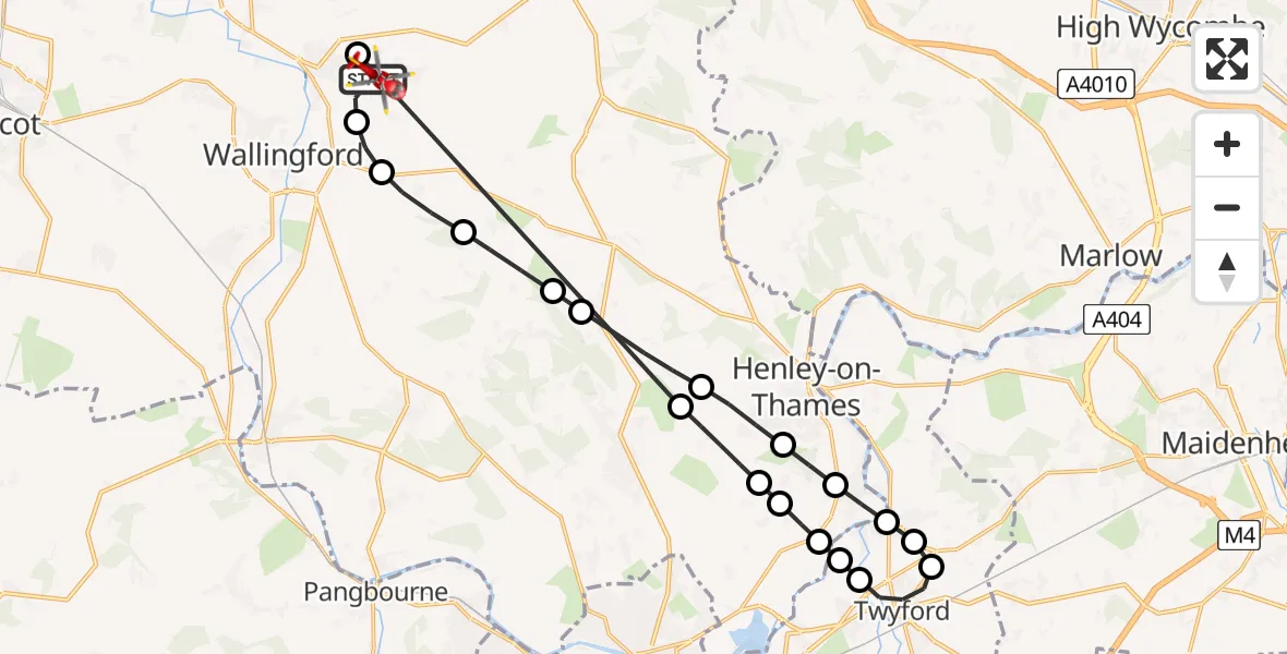
On Sunday, 29 March 2026 at 17:56, a Air Ambulance Helicopter departed from RAF Benson to RAF Benson. It was the Air Ambulance Helicopter with registration number G-TVLY. The flight lasted 15 minutes. During that period, the aircraft travelled 30 miles at an average speed of 116 miles per hour at a maximum altitude of 1200 feet.
Helicopter: G-TVLY
The helicopter G-TVLY is used as a air ambulance helicopter. The main purpose of this aircraft is to transport a Mobile Medical Team to an incident as quickly as possible, enabling the trauma doctor to provide immediate first aid on site. The aircraft is flying this flight as Air Ambulance Helicopter.
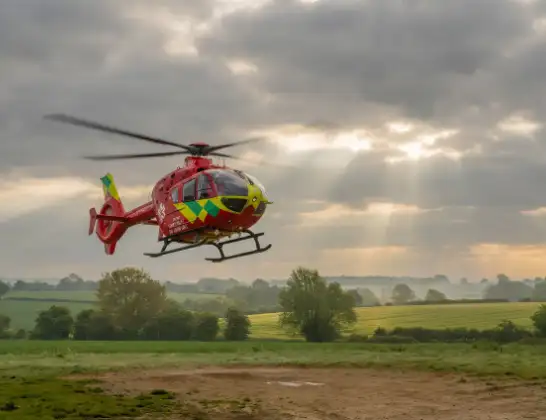
Photo: Tony Melony
30 miles
1200 feet
116 mph
16 minutes
17:56
18:11

Route
RAF Benson, Wallingford, Oxfordshire18:11
RAF Benson, Wallingford, Oxfordshire18:11
RAF Benson, Wallingford, Oxfordshire18:10
Rotherfield Greys, Oxfordshire18:05
Harpsden, Oxfordshire18:04
Binfield Heath, Oxfordshire18:04
Shiplake, Oxfordshire18:04
Wokingham, Wokingham18:03
Loddon Drive, Wokingham18:03
Twyford, Wokingham18:02
Hare Hatch, Wokingham18:02
Wargrave, Wokingham18:02
Shiplake, Oxfordshire18:01
Harpsden, Oxfordshire18:01
Rotherfield Greys, Oxfordshire18:00
Highmoor, Oxfordshire17:59
Stoke Row, Oxfordshire17:59
Nuffield, Oxfordshire17:58
South Oxfordshire, Oxfordshire17:57
Benson, Oxfordshire17:57
RAF Benson, Wallingford, Oxfordshire17:56
Live flights
Today
Coastguard Helicopter to Salen20:05:39
Helicopter flights on your website?
You can easily display helicopter flights on your own website. Use the embed code.
