Air Ambulance Aircraft to North Atlantic Ocean
Saturday, 28 March 2026 | 21:12 | From Kirkwall
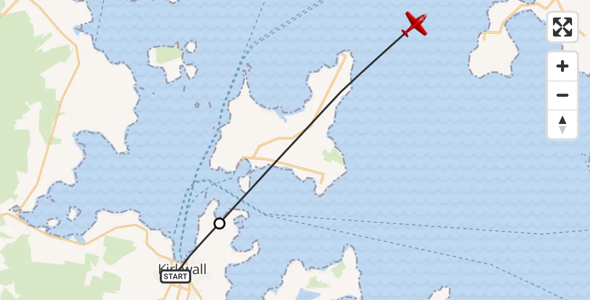
On Saturday, 28 March 2026 at 21:12, a Air Ambulance Aircraft departed from Kirkwall to North Atlantic Ocean. It was the Air Ambulance Aircraft with registration number G-SASC. The flight lasted 3 minutes. During that period, the aircraft travelled 12 miles at an average speed of 202 miles per hour at a maximum altitude of 9550 feet.
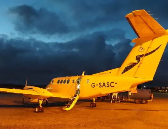
Helicopter: G-SASC
The aircraft G-SASC is used as an air ambulance aircraft. The main purpose of this aircraft is to transport a Mobile Medical Team to an incident as quickly as possible, enabling the trauma doctor to provide immediate first aid on site. The aircraft is flying this flight as Air Ambulance Aircraft.
Photo: Mike Pennington
12 miles
9550 feet
202 mph
4 minutes
21:12
21:15

Route
North Atlantic Ocean, 21:15
North Atlantic Ocean21:12
Pickaquoy Loan, Orkney Islands21:12
Live flights
Today
Air Ambulance Helicopter to Redhill Aerodrome14 Jul 23:46
Coastguard Helicopter to Humberside Airport14 Jul 23:44
Police Helicopter to Johnstone, Gordon Square14 Jul 23:38
Coastguard Helicopter to North Sea14 Jul 23:30
Police Helicopter to Inner Seas14 Jul 23:12
Air Ambulance Helicopter to Norwich Airport14 Jul 22:52
Flights Kirkwall
Air Ambulance Aircraft to Kirkwall14 Jul 16:07
Air Ambulance Aircraft to Kirkwall, A96430 Jun 09:47
Helicopter flights on your website?
You can easily display helicopter flights on your own website. Use the embed code.
