Air Ambulance Helicopter to Bodmin, Scarletts Well Road
Saturday, 28 March 2026 | 15:12 | From RAF Davidstow Moor
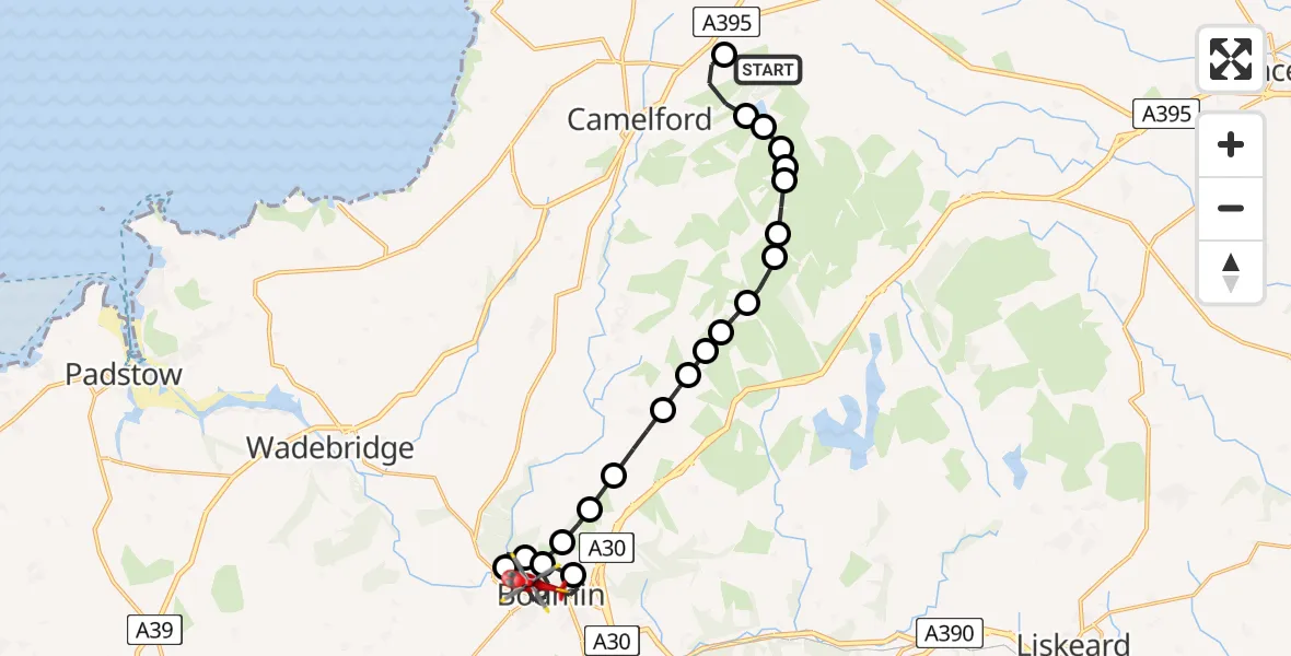
On Saturday, 28 March 2026 at 15:12, a Air Ambulance Helicopter departed from RAF Davidstow Moor to Bodmin. It was the Air Ambulance Helicopter with registration number G-CNLL. The flight lasted 14 minutes. During that period, the aircraft travelled 21 miles at an average speed of 90 miles per hour at a maximum altitude of 1225 feet.
Helicopter: G-CNLL
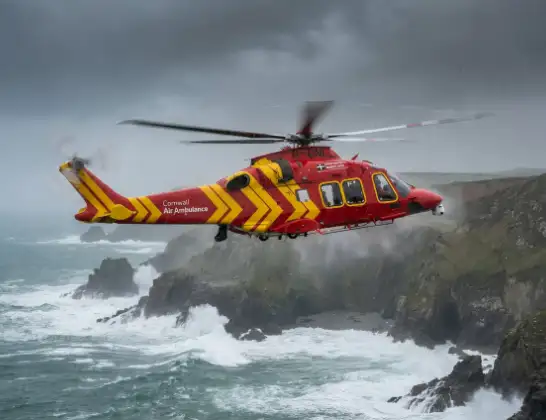
The helicopter G-CNLL is used as a air ambulance helicopter. The main purpose of this aircraft is to transport a Mobile Medical Team to an incident as quickly as possible, enabling the trauma doctor to provide immediate first aid on site. The aircraft is flying this flight as Air Ambulance Helicopter.
Photo: Tony Melony
21 miles
1225 feet
90 mph
14 minutes
15:12
15:26

Route
Scarletts Well Road, Cornwall15:26
Bodmin, Cornwall15:24
Helland, Cornwall15:23
Bodmin, Cornwall15:23
Helland, Cornwall15:22
Bodmin, Cornwall15:21
Helland, Cornwall15:20
Hellandbridge, Cornwall15:20
Helland, Cornwall15:19
Blisland, Cornwall15:18
Cornwall, Cornwall15:18
Cheesewring, Cornwall15:18
Carbilly, Cornwall15:17
Blisland, Cornwall15:17
Garrow, Cornwall15:16
hut circles, Cornwall15:16
Slades, Cornwall15:15
Davidstow, Cornwall15:15
Lanlavery Rock, Cornwall15:15
Advent, Cornwall15:15
Hallworthy, Cornwall15:14
Camelford, Cornwall15:13
RAF Davidstow Moor, Camelford. Cornwall15:12
Today
Flights Bodmin
Air Ambulance Helicopter to Bodmin, Priory Road24 May 17:44
Air Ambulance Helicopter to Treliske Hospital15 May 21:20
Air Ambulance Helicopter to Bodmin, Harmer Close15 May 20:46
Air Ambulance Helicopter to Treliske Hospital14 May 18:09
Air Ambulance Helicopter to Bodmin14 May 17:23
Helicopter flights on your website?
You can easily display helicopter flights on your own website. Use the embed code.
