Air Ambulance Helicopter to Wiltshire Air Ambulance, Commerce Way
Saturday, 28 March 2026 | 12:26 | From Longcombe Drive
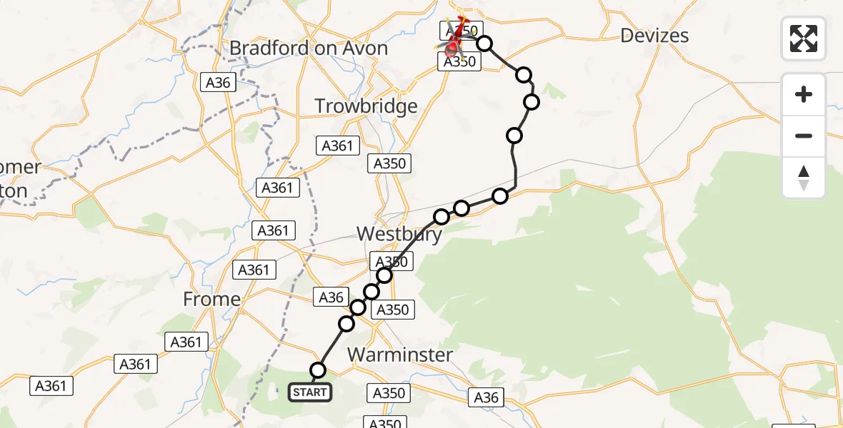
On Saturday, 28 March 2026 at 12:26, a Air Ambulance Helicopter departed from Longcombe Drive to Wiltshire Air Ambulance. It was the Air Ambulance Helicopter with registration number G-WLTS. The flight lasted 9 minutes. During that period, the aircraft travelled 16 miles at an average speed of 105 miles per hour at a maximum altitude of 1350 feet.
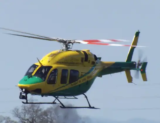
Helicopter: G-WLTS
The helicopter G-WLTS is used as a air ambulance helicopter. The main purpose of this aircraft is to transport a Mobile Medical Team to an incident as quickly as possible, enabling the trauma doctor to provide immediate first aid on site. The aircraft is flying this flight as Air Ambulance Helicopter.
Photo: James
17 miles
1350 feet
105 mph
10 minutes
12:26
12:35

Route
Wiltshire Air Ambulance12:35
Commerce Way, Wiltshire12:35
Melksham, Wiltshire12:34
Seend Cleeve, Wiltshire12:33
Bulkington, Wiltshire12:32
Keevil, Wiltshire12:32
Edington, Wiltshire12:31
Bratton, Wiltshire12:30
Lower Westbury Road, Wiltshire12:30
Westbury, Wiltshire12:29
Biss Brook Farm Airstrip, Westbury, Wiltshire12:29
Warminster, Wiltshire12:28
Upton Scudamore, Wiltshire12:28
Corsley Heath, Wiltshire12:27
Longcombe Drive, Wiltshire12:27
Longcombe Drive, Wiltshire12:26
Live flights
Police Helicopter on its way from RAF Benson12 Jul 22:54
Police Helicopter on its way from Dundrod12 Jul 22:50
Today
Air Ambulance Helicopter to Glasgow Airport12 Jul 22:48
Police Helicopter to Walton Wood Airfield12 Jul 22:44
Air Ambulance Helicopter to Norwich Airport12 Jul 22:27
Air Ambulance Helicopter to Northrepps Aerodrome12 Jul 22:23
Helicopter flights on your website?
You can easily display helicopter flights on your own website. Use the embed code.
