Air Ambulance Helicopter to YAA Nostell Helicopter Port
Saturday, 28 March 2026 | 10:26 | From Thorpe Willoughby
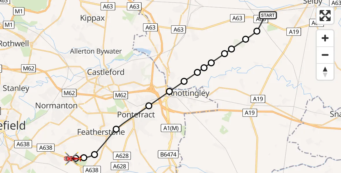
On Saturday, 28 March 2026 at 10:26, a Air Ambulance Helicopter departed from Thorpe Willoughby to YAA Nostell Helicopter Port. It was the Air Ambulance Helicopter with registration number G-YORX. The flight lasted 9 minutes. During that period, the aircraft travelled 14 miles at an average speed of 91 miles per hour at a maximum altitude of 1200 feet.
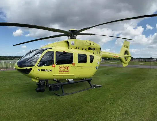
Helicopter: G-YORX
The helicopter G-YORX is used as a air ambulance helicopter. The main purpose of this aircraft is to transport a Mobile Medical Team to an incident as quickly as possible, enabling the trauma doctor to provide immediate first aid on site. The aircraft is flying this flight as Air Ambulance Helicopter.
Photo: Arollin96227
14 miles
1200 feet
91 mph
10 minutes
10:26
10:35

Route
YAA Nostell Helicopter Port, Foulby, Nostell, Yorkshire10:35
YAA Nostell Helicopter Port, Foulby, Nostell, Yorkshire10:35
YAA Nostell Helicopter Port, Foulby, Nostell, Yorkshire10:34
Nostell, Hartlepool10:34
Wragby, Hartlepool10:33
Purston Jaglin, Hartlepool10:32
Pontefract, Hartlepool10:31
Ferrybridge, Hartlepool10:30
Brotherton, North Yorkshire10:30
Byram, North Yorkshire10:29
Byram cum Sutton, North Yorkshire10:29
Birkin, North Yorkshire10:29
Barkhouse Wood Lane, North Yorkshire10:28
Hagg Lane, North Yorkshire10:28
Hillam Road, North Yorkshire10:28
Hambleton, North Yorkshire10:27
Field Lane, North Yorkshire10:27
Thorpe Willoughby, North Yorkshire10:26
Live flights
Today
Helicopter flights on your website?
You can easily display helicopter flights on your own website. Use the embed code.
