Air Ambulance Helicopter to Argyll and Bute
Saturday, 28 March 2026 | 10:24 | From Glasgow Airport
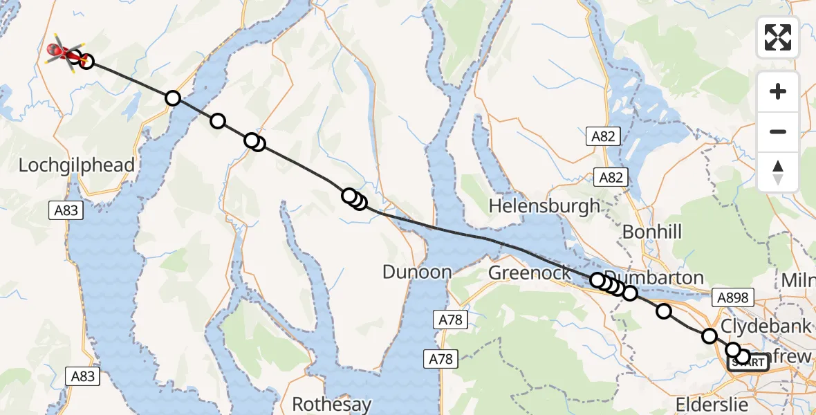
On Saturday, 28 March 2026 at 10:24, a Air Ambulance Helicopter departed from Glasgow Airport to Argyll and Bute. It was the Air Ambulance Helicopter with registration number G-ISAS. The flight lasted 30 minutes. During that period, the aircraft travelled 43 miles at an average speed of 86 miles per hour at a maximum altitude of 2850 feet.
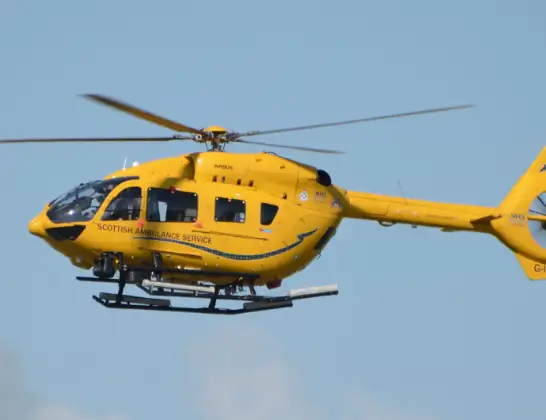
Helicopter: G-ISAS
The helicopter G-ISAS is used as a air ambulance helicopter. The main purpose of this aircraft is to transport a Mobile Medical Team to an incident as quickly as possible, enabling the trauma doctor to provide immediate first aid on site. The aircraft is flying this flight as Air Ambulance Helicopter.
Photo: Jonathan Payne
44 miles
2850 feet
86 mph
31 minutes
10:24
10:54

Route
Argyll and Bute, Argyll and Bute10:54
Argyll and Bute, Argyll and Bute10:54
C38, Argyll and Bute10:54
Argyll and Bute, Argyll and Bute10:50
Inner Seas10:48
Argyll and Bute, Argyll and Bute10:47
Clachan of Glendaruel, Argyll and Bute10:46
Argyll and Bute, Argyll and Bute10:43
Clachaig, Argyll and Bute10:42
Balagowan, Argyll and Bute10:42
Inner Seas10:32
Cardross, Argyll and Bute10:32
Port Glasgow Community Stadium, Inverclyde10:31
Langbank, Inverclyde10:31
Greenock Road, Renfrewshire10:31
Langbank, Renfrewshire10:29
Bishopton, Renfrewshire10:27
Erskine, Renfrewshire10:26
Renfrew, Renfrewshire10:25
Glasgow Airport, Glasgow10:24
Live flights
Today
Helicopter flights on your website?
You can easily display helicopter flights on your own website. Use the embed code.
