Police Helicopter to Bournemouth Airport
Friday, 27 March 2026 | 23:40 | From Bournemouth Airport
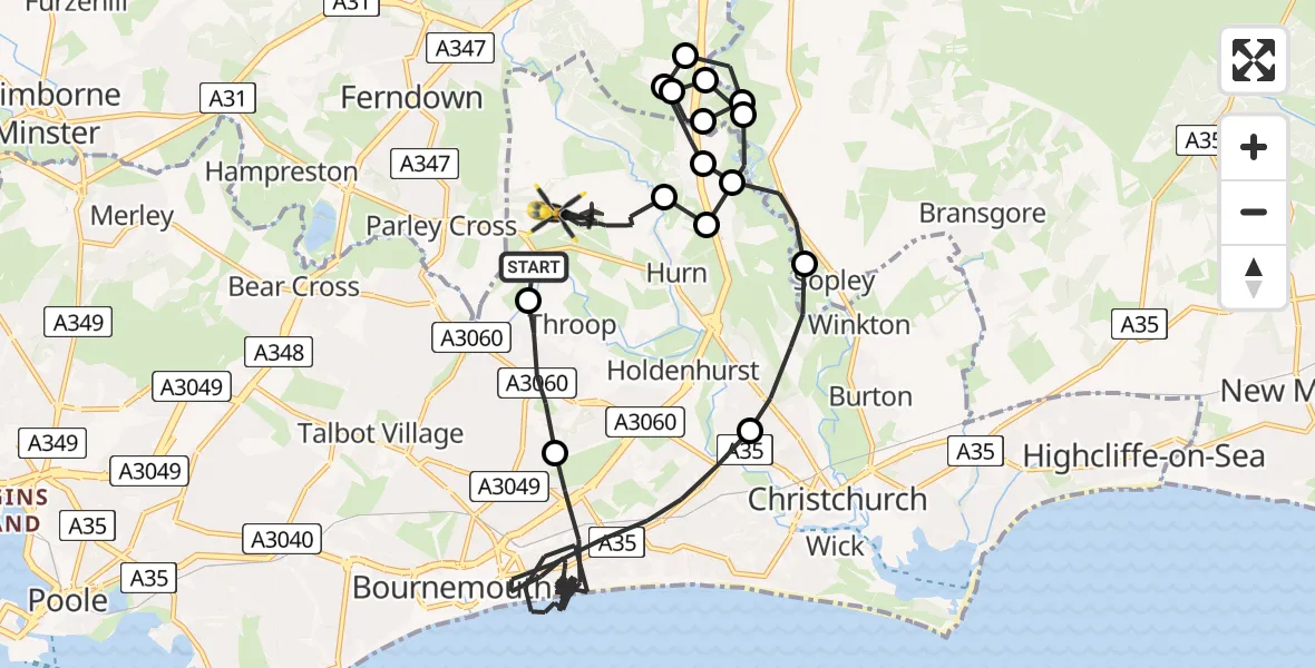
On Friday, 27 March 2026 at 23:40, a Police Helicopter departed from Bournemouth Airport to Bournemouth Airport. It was the Police Helicopter with registration number G-CPAO. The flight lasted 31 minutes. During that period, the aircraft travelled 28 miles at an average speed of 54 miles per hour at a maximum altitude of 1575 feet.
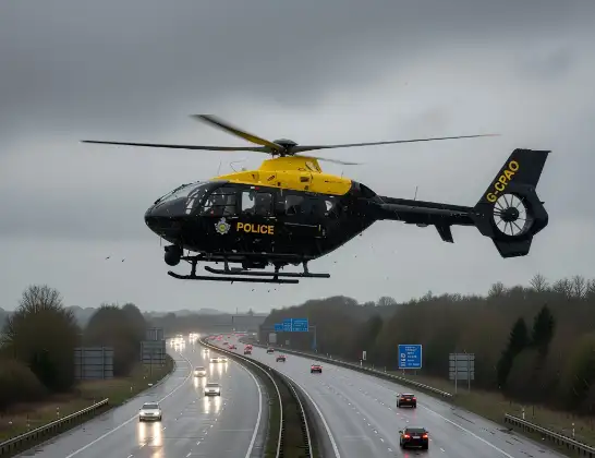
Helicopter: G-CPAO
The helicopter G-CPAO is used by the British police. The helicopter is deployed in pursuits, missing persons cases and other incidents where a helicopter provides added value.
Photo: Tony Melony
28 miles
1575 feet
54 mph
32 minutes
23:40
00:11

Route
Bournemouth Airport, Bournemouth00:11
Bournemouth Airport, Bournemouth00:10
Hurn, Bournemouth, Christchurch and Poole00:10
High Harbour, Dorset00:09
Wattons Lane, Dorset00:09
Hill Road, Dorset00:09
Christchurch, Bournemouth, Christchurch and Poole00:08
New Forest, Hampshire00:08
Wattons Lane, Dorset00:07
Hill Road, Dorset00:07
Christchurch, Bournemouth, Christchurch and Poole00:07
Hurn, Bournemouth, Christchurch and Poole00:07
Sopley, Hampshire00:06
Christchurch, Bournemouth, Christchurch and Poole00:05
Bournemouth, Bournemouth, Christchurch and Poole23:41
Throop, Bournemouth, Christchurch and Poole23:40
Bournemouth Airport, Bournemouth23:40
Live flights
Today
Air Ambulance Helicopter to Cray10:03:17
Helicopter flights on your website?
You can easily display helicopter flights on your own website. Use the embed code.
