Air Ambulance Helicopter to Eastbourne, Beachy Head Road
Thursday, 26 March 2026 | 15:07 | From Blindley Heath
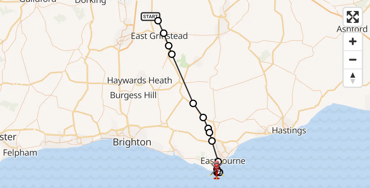
On Thursday, 26 March 2026 at 15:07, a Air Ambulance Helicopter departed from Blindley Heath to Eastbourne. It was the Air Ambulance Helicopter with registration number G-LNAC. The flight lasted 18 minutes. During that period, the aircraft travelled 37 miles at an average speed of 123 miles per hour at a maximum altitude of 1375 feet.
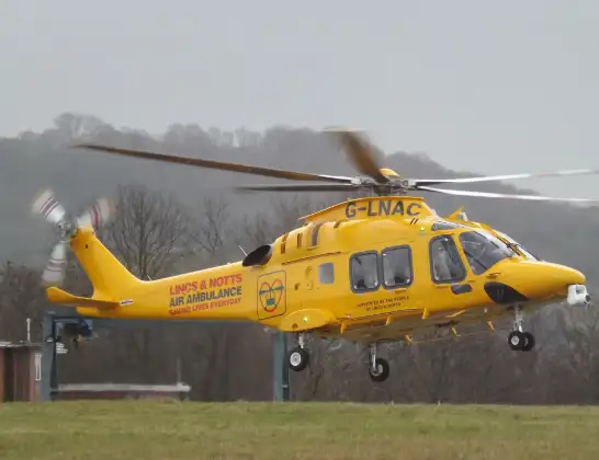
Helicopter: G-LNAC
The helicopter G-LNAC is used as a air ambulance helicopter. The main purpose of this aircraft is to transport a Mobile Medical Team to an incident as quickly as possible, enabling the trauma doctor to provide immediate first aid on site. The aircraft is flying this flight as Air Ambulance Helicopter.
Photo: James from Cheltenham, Gloucestershire
38 miles
1375 feet
123 mph
19 minutes
15:07
15:25

Route
Eastbourne, Eastbourne15:25
Beachy Head Road, Eastbourne15:24
Eastbourne, Eastbourne15:22
English Channel15:21
Eastbourne, Eastbourne15:21
English Channel15:20
Eastbourne, Eastbourne15:18
Wannock, Wealden15:17
Polegate, Wealden15:16
Upper Dicker, Wealden15:16
Golden Cross, Wealden15:15
Halland, Wealden15:14
Upper Hartfield, Wealden15:10
Forest Row, Wealden15:09
East Grinstead, Mid Sussex15:08
Lingfield, Lingfield15:07
Surrey CC 274, Blindley Heath15:07
Today
Flights Eastbourne
Coastguard Helicopter to Manston Airport10 Jul 15:15
Coastguard Helicopter to Brighton City Airport10 Jul 14:13
Coastguard Helicopter to English Channel10 Jul 13:49
Coastguard Helicopter to English Channel10 Jul 13:31
Helicopter flights on your website?
You can easily display helicopter flights on your own website. Use the embed code.
