Air Ambulance Helicopter to Topsham, Sandy Way
Thursday, 26 March 2026 | 13:51 | From West Devon
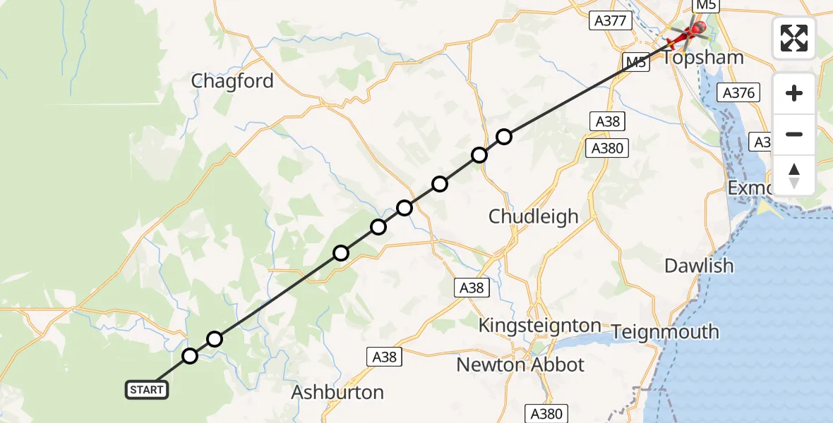
On Thursday, 26 March 2026 at 13:51, a Air Ambulance Helicopter departed from West Devon to Topsham. It was the Air Ambulance Helicopter with registration number G-DAAN. The flight lasted 19 minutes. During that period, the aircraft travelled 23 miles at an average speed of 70 miles per hour at a maximum altitude of 2200 feet.
Helicopter: G-DAAN
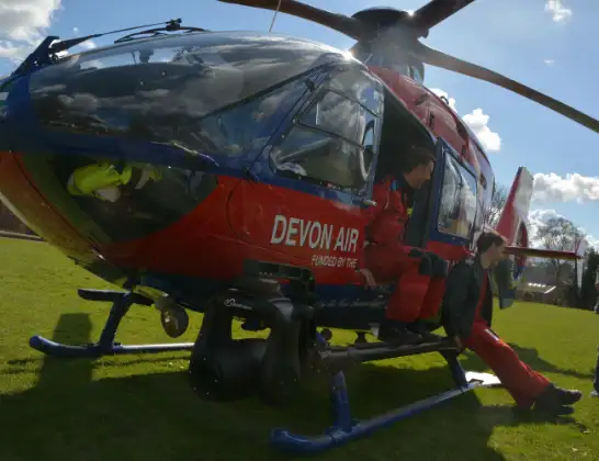
The helicopter G-DAAN is used as a air ambulance helicopter. The main purpose of this aircraft is to transport a Mobile Medical Team to an incident as quickly as possible, enabling the trauma doctor to provide immediate first aid on site. The aircraft is flying this flight as Air Ambulance Helicopter.
Photo: Tiverton
23 miles
2200 feet
70 mph
20 minutes
13:51
14:10

Route
Topsham, Exeter14:00
Higher Ashton, Teignbridge13:57
Christow, Teignbridge13:57
Bovey Tracey, Teignbridge13:56
Lustleigh, Teignbridge13:55
Teignbridge, Devon and Torbay13:55
Haytor Vale, Teignbridge13:54
Widecombe-in-the-Moor, Teignbridge13:52
South Hams, Devon and Torbay13:51
Sandy Way, Devon and Torbay13:51
Live flights
Police Helicopter on its way from Dundrod12 Jul 22:50
Today
Police Helicopter to East Ardsley, Stoney Lane12 Jul 23:51
Police Helicopter to Birmingham Airport12 Jul 23:46
Air Ambulance Helicopter to Newlands of Culloden12 Jul 23:24
Flights Topsham
Air Ambulance Helicopter to Derriford Hospital12 Jul 11:36
Air Ambulance Helicopter to Topsham, Halyards12 Jul 10:43
Air Ambulance Helicopter to Topsham, A3793 Jul 18:02
Police Helicopter to Rockbeare, Silver Lane28 May 20:39
Helicopter flights on your website?
You can easily display helicopter flights on your own website. Use the embed code.
