Air Ambulance Helicopter to Coventry Airport
Thursday, 26 March 2026 | 11:32 | From Coventry Airport
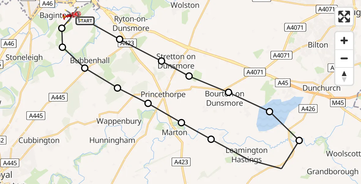
On Thursday, 26 March 2026 at 11:32, a Air Ambulance Helicopter departed from Coventry Airport to Coventry Airport. It was the Air Ambulance Helicopter with registration number G-WNAS. The flight lasted 8 minutes. During that period, the aircraft travelled 18 miles at an average speed of 136 miles per hour at a maximum altitude of 950 feet.
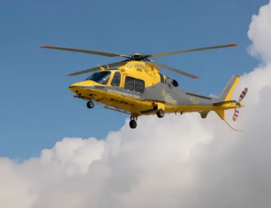
Helicopter: G-WNAS
The helicopter G-WNAS is used as an ambulance helicopter. The helicopter is equipped with a stretcher for transporting patients. The helicopter is often used to transport to hospitals.
Photo: Tony Melony
19 miles
950 feet
136 mph
9 minutes
11:32
11:41

Route
Coventry Airport, Coventry, West Midlands11:41
Coventry Airport, Coventry, West Midlands11:40
Baginton, Warwick11:39
Bubbenhall, Warwick11:39
Wappenbury, Warwick11:38
Princethorpe CP, Rugby11:38
Marton CP, Rugby11:37
Birdingbury CP, Rugby11:37
Leamington Hastings CP, Rugby11:35
Draycote Water11:35
Bourton on Dunsmore, Rugby11:34
Frankton CP, Rugby11:34
Stretton on Dunsmore CP, Rugby11:33
Ryton-on-Dunsmore, Rugby11:33
Baginton, Warwick11:32
Live flights
Today
Helicopter flights on your website?
You can easily display helicopter flights on your own website. Use the embed code.
