Police Helicopter to MOD St Athan
Wednesday, 25 March 2026 | 20:08 | From MOD St Athan
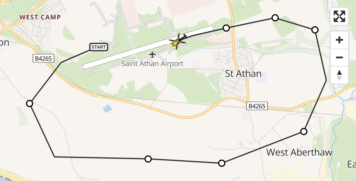
On Wednesday, 25 March 2026 at 20:08, a Police Helicopter departed from MOD St Athan to MOD St Athan. It was the Police Helicopter with registration number G-NWOI. The flight lasted 4 minutes. During that period, the aircraft travelled 5 miles at an average speed of 76 miles per hour at a maximum altitude of 875 feet.
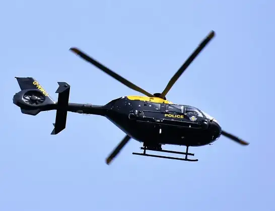
Helicopter: G-NWOI
The helicopter G-NWOI is used by the British police. The helicopter is deployed in pursuits, missing persons cases and other incidents where a helicopter provides added value.
Photo: Alec Wilson
6 miles
875 feet
76 mph
5 minutes
20:08
20:12

Route
MOD St Athan, St Athan, Vale of Glamorgan20:12
MOD St Athan, St Athan, Vale of Glamorgan20:11
Flemingston, Flemingston20:11
St Athan, St Athan20:11
West Aberthaw, West Aberthaw20:10
Gileston, Gileston20:10
MOD St Athan, St Athan, Vale of Glamorgan20:09
Boverton, Boverton20:08
MOD St Athan, St Athan, Vale of Glamorgan20:08
Live flights
Today
Helicopter flights on your website?
You can easily display helicopter flights on your own website. Use the embed code.
