Police Helicopter to East Ardsley, Stoney Lane
Wednesday, 25 March 2026 | 12:32 | From East Ardsley
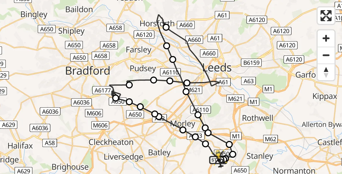
On Wednesday, 25 March 2026 at 12:32, a Police Helicopter departed from East Ardsley to East Ardsley. It was the Police Helicopter with registration number G-POLB. The flight lasted 30 minutes. During that period, the aircraft travelled 41 miles at an average speed of 82 miles per hour at a maximum altitude of 1900 feet.
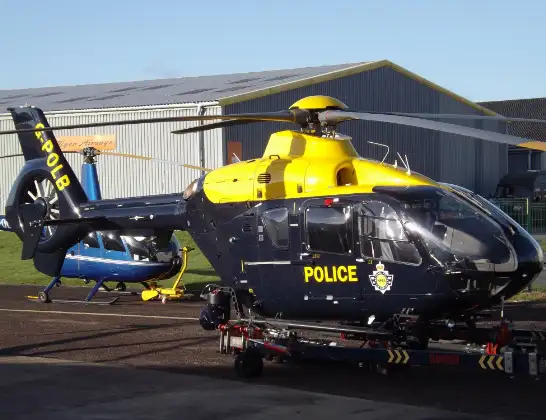
Helicopter: G-POLB
The helicopter G-POLB is used by the British police. The helicopter is deployed in pursuits, missing persons cases and other incidents where a helicopter provides added value.
Photo: James from Cheltenham, Gloucestershire
41 miles
1900 feet
82 mph
30 minutes
12:32
13:02

Route
Stoney Lane, Leeds13:02
East Ardsley, Leeds13:02
Wakefield, Wakefield13:02
Wrenthorpe, Wakefield13:02
Lofthouse Gate, Wakefield13:01
East Ardsley, Leeds13:01
Tingley, Leeds13:01
Leeds, Leeds13:00
Churwell, Morley13:00
Churwell, Leeds12:59
Leeds, Leeds12:58
Pudsey, Leeds12:58
Horsforth, Leeds12:54
Leeds, Leeds12:49
Pudsey, Leeds12:48
Fulneck Moravian Settlement, Leeds12:48
Pudsey, Leeds12:47
Bradford, Bradford12:38
Tong, Bradford12:37
Drighlington, Leeds12:36
Adwalton, Leeds12:36
Gildersome, Leeds12:36
Morley, Leeds12:35
Tingley, Morley12:34
Tingley, Leeds12:33
Stoney Lane, Leeds12:32
Live flights
Today
Helicopter flights on your website?
You can easily display helicopter flights on your own website. Use the embed code.
