Police Helicopter to Newcastle International Airport
Wednesday, 25 March 2026 | 11:47 | From Newcastle upon Tyne
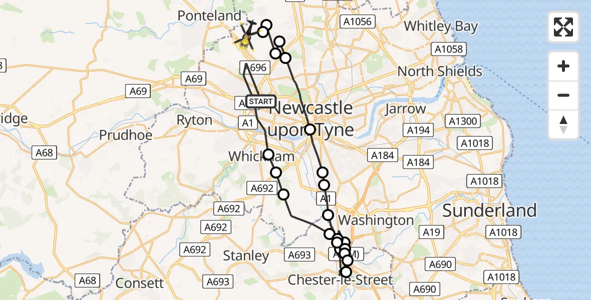
On Wednesday, 25 March 2026 at 11:47, a Police Helicopter departed from Newcastle upon Tyne to Newcastle International Airport. It was the Police Helicopter with registration number G-POLA. The flight lasted 19 minutes. During that period, the aircraft travelled 35 miles at an average speed of 110 miles per hour at a maximum altitude of 1850 feet.
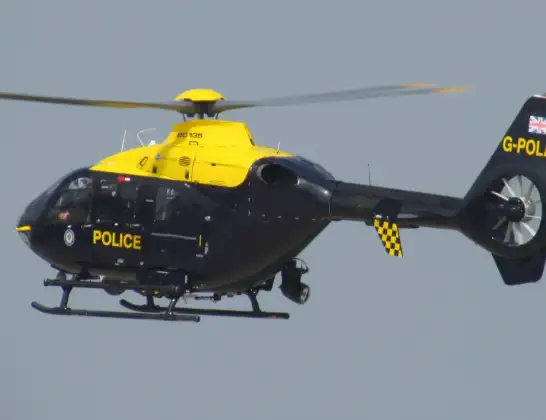
Helicopter: G-POLA
The helicopter G-POLA is used by the British police. The helicopter is deployed in pursuits, missing persons cases and other incidents where a helicopter provides added value.
Photo: ozz13x
35 miles
1850 feet
110 mph
20 minutes
11:47
12:06

Route
Newcastle International Airport, Newcastle upon Tyne, Tyne and Wear12:06
Newcastle upon Tyne, Newcastle upon Tyne12:06
Newcastle International Airport, Newcastle upon Tyne, Tyne and Wear12:06
Newcastle upon Tyne, Newcastle upon Tyne12:06
Hazlerigg Village, Newcastle upon Tyne12:05
Newcastle upon Tyne, Newcastle upon Tyne12:05
Newcastle upon Tyne, North East12:03
Gateshead, North East12:01
Birtley, North East12:01
Lamesley, Birtley12:00
Birtley, North East11:59
South Pelaw, Chester-le-Street11:56
South Pelaw, Durham11:56
South Pelaw, Chester-le-Street11:55
Chester-le-Street, North East11:55
Birtley, North East11:53
North Lodge, North East11:53
Birtley, North East11:52
Ouston, North East11:52
Lamesley, Gateshead11:51
Sunniside, Gateshead11:50
Whickham, North East11:50
Slatyford Lane, North East11:47
Live flights
Today
Helicopter flights on your website?
You can easily display helicopter flights on your own website. Use the embed code.
