Air Ambulance Helicopter to Swindon, Parklands Road
Tuesday, 24 March 2026 | 22:51 | From Wiltshire Air Ambulance
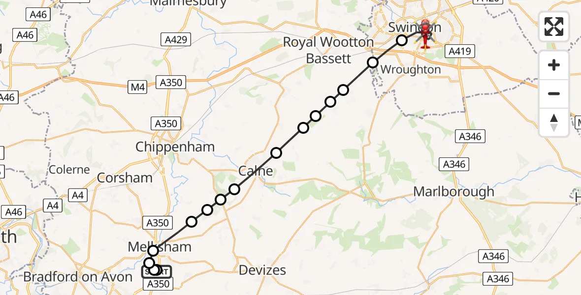
On Tuesday, 24 March 2026 at 22:51, a Air Ambulance Helicopter departed from Wiltshire Air Ambulance to Swindon. It was the Air Ambulance Helicopter with registration number G-WLTS. The flight lasted 15 minutes. During that period, the aircraft travelled 25 miles at an average speed of 104 miles per hour at a maximum altitude of 1950 feet.
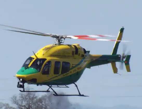
Helicopter: G-WLTS
The helicopter G-WLTS is used as a air ambulance helicopter. The main purpose of this aircraft is to transport a Mobile Medical Team to an incident as quickly as possible, enabling the trauma doctor to provide immediate first aid on site. The aircraft is flying this flight as Air Ambulance Helicopter.
Photo: James
26 miles
1950 feet
104 mph
15 minutes
22:51
23:06

Route
Swindon, Swindon23:06
Parklands Road, Swindon23:06
Swindon, Swindon23:01
Wroughton, Wroughton23:01
Broad Town, Broad Town23:00
Bushton, Bushton22:59
Clyffe Pypard, Clyffe Pypard22:59
Hilmarton, Hilmarton22:59
Compton Bassett, Compton Bassett22:58
Calne, Calne22:57
Derry Hill and Studley, Derry Hill and Studley22:57
Bromham, Bromham22:56
Bowden Hill, Bowden Hill22:56
Melksham, Melksham22:55
Berryfield, Berryfield22:55
High Street, Semington22:54
Commerce Way, Melksham22:54
Commerce Way, Melksham22:53
Wiltshire Air Ambulance22:51
Live flights
Today
Flights Swindon
Air Ambulance Helicopter to Swindon, Canal Walk20 Jun 19:03
Police Helicopter to Almondsbury Helicopter Base19 Jun 22:02
Air Ambulance Helicopter to Swindon19 Jun 21:28
Helicopter flights on your website?
You can easily display helicopter flights on your own website. Use the embed code.
