Police Helicopter to North Weald Airfield
Tuesday, 24 March 2026 | 13:52 | From North Weald Airfield
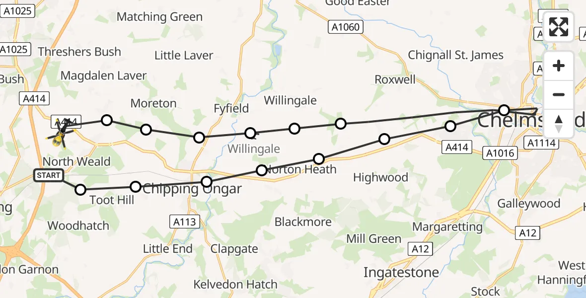
On Tuesday, 24 March 2026 at 13:52, a Police Helicopter departed from North Weald Airfield to North Weald Airfield. It was the Police Helicopter with registration number G-TVHB. The flight lasted 24 minutes. During that period, the aircraft travelled 29 miles at an average speed of 72 miles per hour at a maximum altitude of 1275 feet.
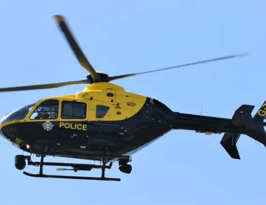
Helicopter: G-TVHB
The helicopter G-TVHB is used by the British police. The helicopter is deployed in pursuits, missing persons cases and other incidents where a helicopter provides added value.
Photo: Alec Wilson
29 miles
1275 feet
72 mph
25 minutes
13:52
14:16

Route
North Weald Airfield, Epping, Essex14:16
North Weald Bassett, Epping Forest14:16
Moreton, Epping Forest14:15
High Ongar, Epping Forest14:14
Willingale Airstrip, Ongar, Essex14:14
Norton Heath, Epping Forest14:13
Epping Forest, Epping Forest14:12
Chelmsford, Chelmsford13:57
Writtle, Chelmsford13:57
Highwood, Chelmsford13:56
Highwood, Brentwood13:56
Norton Heath, Epping Forest13:55
Chipping Ongar, Epping Forest13:54
Greensted Green, Epping Forest13:54
Woodhatch, Epping Forest13:53
Epping Road, Epping Forest13:52
Live flights
Police Helicopter on its way from MOD St Athan15 Jul 23:53
Police Helicopter on its way from Wrenthorpe15 Jul 23:36
Today
Police Helicopter to Glasgow, Renfrew Road15 Jul 23:45
Police Helicopter to Renfrewshire15 Jul 23:32
Air Ambulance Helicopter to Southampton Airport15 Jul 23:30
Police Helicopter to Coopersale, Epping Road15 Jul 23:07
Police Helicopter to Largs, Lane 115 Jul 23:02
Air Ambulance Helicopter to Dunkeswell Airfield15 Jul 23:01
Police Helicopter to Birmingham Airport15 Jul 22:47
Helicopter flights on your website?
You can easily display helicopter flights on your own website. Use the embed code.
