Air Ambulance Helicopter to Kings College London Hospital
Monday, 23 March 2026 | 10:12 | From Royal Borough of Greenwich
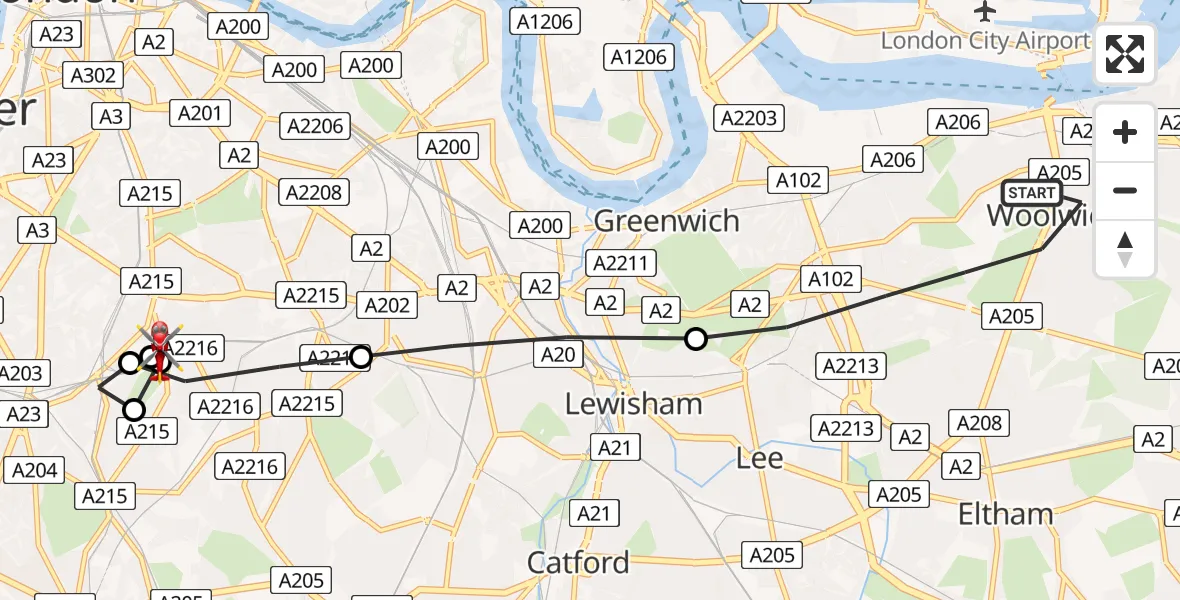
On Monday, 23 March 2026 at 10:12, a Air Ambulance Helicopter departed from Royal Borough of Greenwich to Kings College London Hospital. It was the Air Ambulance Helicopter with registration number G-LAAB. The flight lasted 9 minutes. During that period, the aircraft travelled 9 miles at an average speed of 61 miles per hour at a maximum altitude of 825 feet.
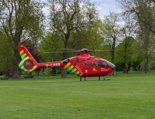
Helicopter: G-LAAB
The helicopter G-LAAB is used as a air ambulance helicopter. The main purpose of this aircraft is to transport a Mobile Medical Team to an incident as quickly as possible, enabling the trauma doctor to provide immediate first aid on site. The aircraft is flying this flight as Air Ambulance Helicopter.
Photo: Celsoazevedo
10 miles
825 feet
61 mph
10 minutes
10:12
10:21

Route
Kings College London Hospital, London10:21
Kings College London Hospital, London10:20
Kings College London Hospital, London10:19
London Borough of Lambeth, Greater London10:18
Kings College London Hospital, London10:18
London Borough of Lambeth, Greater London10:18
London Borough of Southwark, Greater London10:17
London Borough of Lewisham, Greater London10:16
Grand Depot Road, Greater London10:13
Royal Borough of Greenwich, Greater London10:12
Live flights
Police Helicopter on its way from RAF Benson12 Jul 22:54
Police Helicopter on its way from Dundrod12 Jul 22:50
Police Helicopter on its way from East Ardsley12 Jul 22:44
Police Helicopter on its way from Worsley12 Jul 22:11
Today
Air Ambulance Helicopter to Glasgow Airport12 Jul 22:48
Air Ambulance Helicopter to Norwich Airport12 Jul 22:27
Air Ambulance Helicopter to Northrepps Aerodrome12 Jul 22:23
Police Helicopter to Harborough, Sulby Road12 Jul 22:20
Air Ambulance Helicopter to Derriford Hospital12 Jul 22:12
Air Ambulance Helicopter to Northrepps Aerodrome12 Jul 22:03
Air Ambulance Helicopter to Warwick, Henley Road12 Jul 21:38
Helicopter flights on your website?
You can easily display helicopter flights on your own website. Use the embed code.
