Police Helicopter to North Weald Bassett, M11
Sunday, 22 March 2026 | 22:30 | From North Weald Airfield
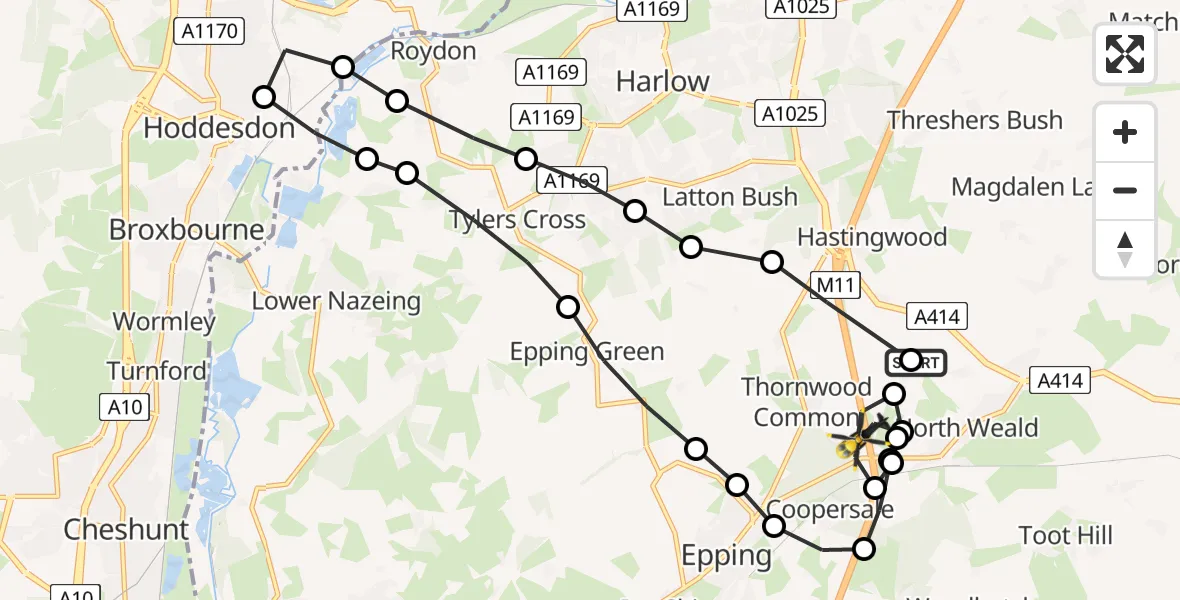
On Sunday, 22 March 2026 at 22:30, a Police Helicopter departed from North Weald Airfield to North Weald Bassett. It was the Police Helicopter with registration number G-TVHB. The flight lasted 12 minutes. During that period, the aircraft travelled 20 miles at an average speed of 96 miles per hour at a maximum altitude of 1175 feet.
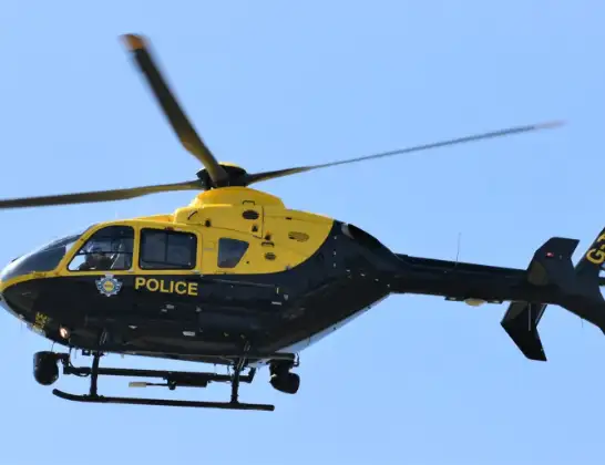
Helicopter: G-TVHB
The helicopter G-TVHB is used by the British police. The helicopter is deployed in pursuits, missing persons cases and other incidents where a helicopter provides added value.
Photo: Alec Wilson
20 miles
1175 feet
96 mph
13 minutes
22:30
22:43

Route
M11, Epping Forest22:43
North Weald Airfield, Epping, Essex22:42
North Weald Bassett, Epping Forest22:42
Coopersale, Epping Forest22:41
North Weald Bassett, Epping Forest22:40
North Weald Airfield, Epping, Essex22:40
North Weald Bassett, Epping Forest22:40
Coopersale, Epping Forest22:39
Coopersale Street, Epping22:38
Thornwood Common, Epping22:38
Epping, Epping Forest22:37
Epping Green, Epping Forest22:36
Tylers Cross, Epping Forest22:35
Epping Forest, Epping Forest22:35
Hoddesdon, Hoddesdon22:34
Stanstead Abbots, East Hertfordshire22:34
Roydon, Epping Forest22:33
Tylers Cross, Epping Forest22:33
Harlow, Harlow22:32
North Weald Bassett, Epping Forest22:32
Latton Bush, Harlow22:31
North Weald Bassett, Epping Forest22:30
North Weald Airfield, Epping, Essex22:30
Live flights
Today
Helicopter flights on your website?
You can easily display helicopter flights on your own website. Use the embed code.
