Air Ambulance Helicopter to Glasgow Airport
Sunday, 22 March 2026 | 22:06 | From Crosshouse University Hospital
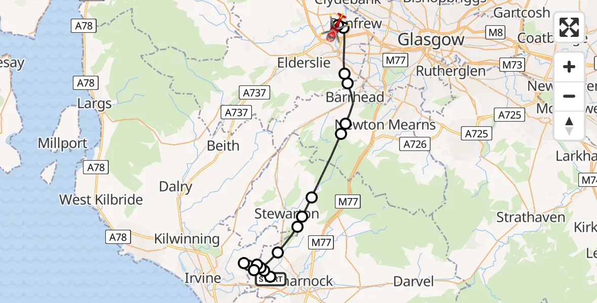
On Sunday, 22 March 2026 at 22:06, a Air Ambulance Helicopter departed from Crosshouse University Hospital to Glasgow Airport. It was the Air Ambulance Helicopter with registration number G-ISAS. The flight lasted 13 minutes. During that period, the aircraft travelled 24 miles at an average speed of 110 miles per hour at a maximum altitude of 1850 feet.
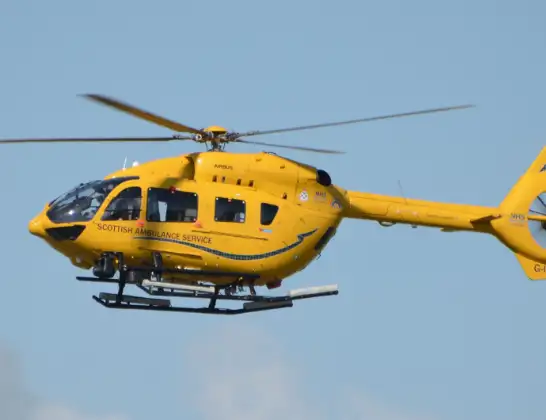
Helicopter: G-ISAS
The helicopter G-ISAS is used as a air ambulance helicopter. The main purpose of this aircraft is to transport a Mobile Medical Team to an incident as quickly as possible, enabling the trauma doctor to provide immediate first aid on site. The aircraft is flying this flight as Air Ambulance Helicopter.
Photo: Jonathan Payne
24 miles
1850 feet
110 mph
14 minutes
22:06
22:19

Route
Glasgow Airport, Glasgow22:19
Glasgow Airport, Glasgow22:19
Renfrew, Renfrew22:19
Paisley, Paisley22:17
Thornly Park, Thornly Park22:17
Barrhead, Barrhead22:15
Gateside, Gateside22:15
Kingsford, Kingsford22:13
Stewarton, Stewarton22:12
Fenwick, Fenwick22:12
Kilmaurs, Kilmaurs22:11
Knockentiber, Knockentiber22:10
Springside, Springside22:09
Cunninghamhead, Cunninghamhead22:08
Knockentiber, Knockentiber22:08
Knockentiber, Knockentiber22:07
Crosshouse, Crosshouse22:07
Crosshouse University Hospital, 22:06
Live flights
Today
Helicopter flights on your website?
You can easily display helicopter flights on your own website. Use the embed code.
