Air Ambulance Helicopter to Inner Seas
Sunday, 22 March 2026 | 15:04 | From Paisley
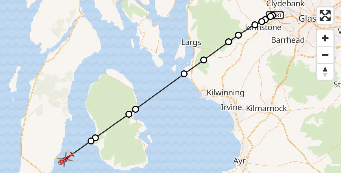
On Sunday, 22 March 2026 at 15:04, a Air Ambulance Helicopter departed from Paisley to Inner Seas. It was the Air Ambulance Helicopter with registration number G-ISAS. The flight lasted 23 minutes. During that period, the aircraft travelled 49 miles at an average speed of 129 miles per hour at a maximum altitude of 2250 feet.
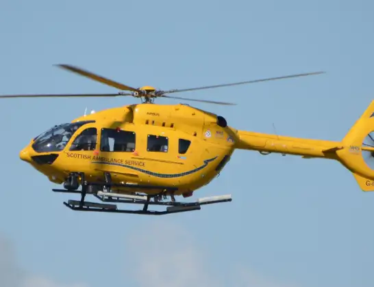
Helicopter: G-ISAS
The helicopter G-ISAS is used as a air ambulance helicopter. The main purpose of this aircraft is to transport a Mobile Medical Team to an incident as quickly as possible, enabling the trauma doctor to provide immediate first aid on site. The aircraft is flying this flight as Air Ambulance Helicopter.
Photo: Jonathan Payne
50 miles
2250 feet
129 mph
23 minutes
15:04
15:26

Route
Inner Seas, 15:26
Inner Seas15:24
Balnagore, Balnagore15:23
Brodick, Brodick15:20
Cladach, Cladach15:19
Inner Seas15:14
West Kilbride, West Kilbride15:12
Kilbirnie, Kilbirnie15:09
Lochwinnoch, Lochwinnoch15:08
Kilbarchan, Kilbarchan15:06
Brookfield, Brookfield15:05
Linwood, Linwood15:05
Paisley, Paisley15:04
Linwood, Linwood15:04
Barnsford Road, Paisley15:04
Today
Police Helicopter to Falkirk02:12:08
Flights Paisley
Police Helicopter to Paisley, Blackstoun Road14 Jul 16:39
Police Helicopter to Stirling, New Line Road12 Jul 14:32
Police Helicopter to Renfrew, King's Inch Drive12 Jul 13:25
Police Helicopter to Glasgow, Centurion Way27 Jun 16:21
Police Helicopter to Auchenmade, B70723 Jun 14:30
Police Helicopter to Burnhouse, Barrmill17 Jun 11:24
Police Helicopter to Paisley, Greenlaw Drive18 May 23:42
Police Helicopter to High Bardrain, Johnstone18 May 23:26
Helicopter flights on your website?
You can easily display helicopter flights on your own website. Use the embed code.
